
Long Draw Road: A High-Country Scenic Drive Above the Poudre Canyon

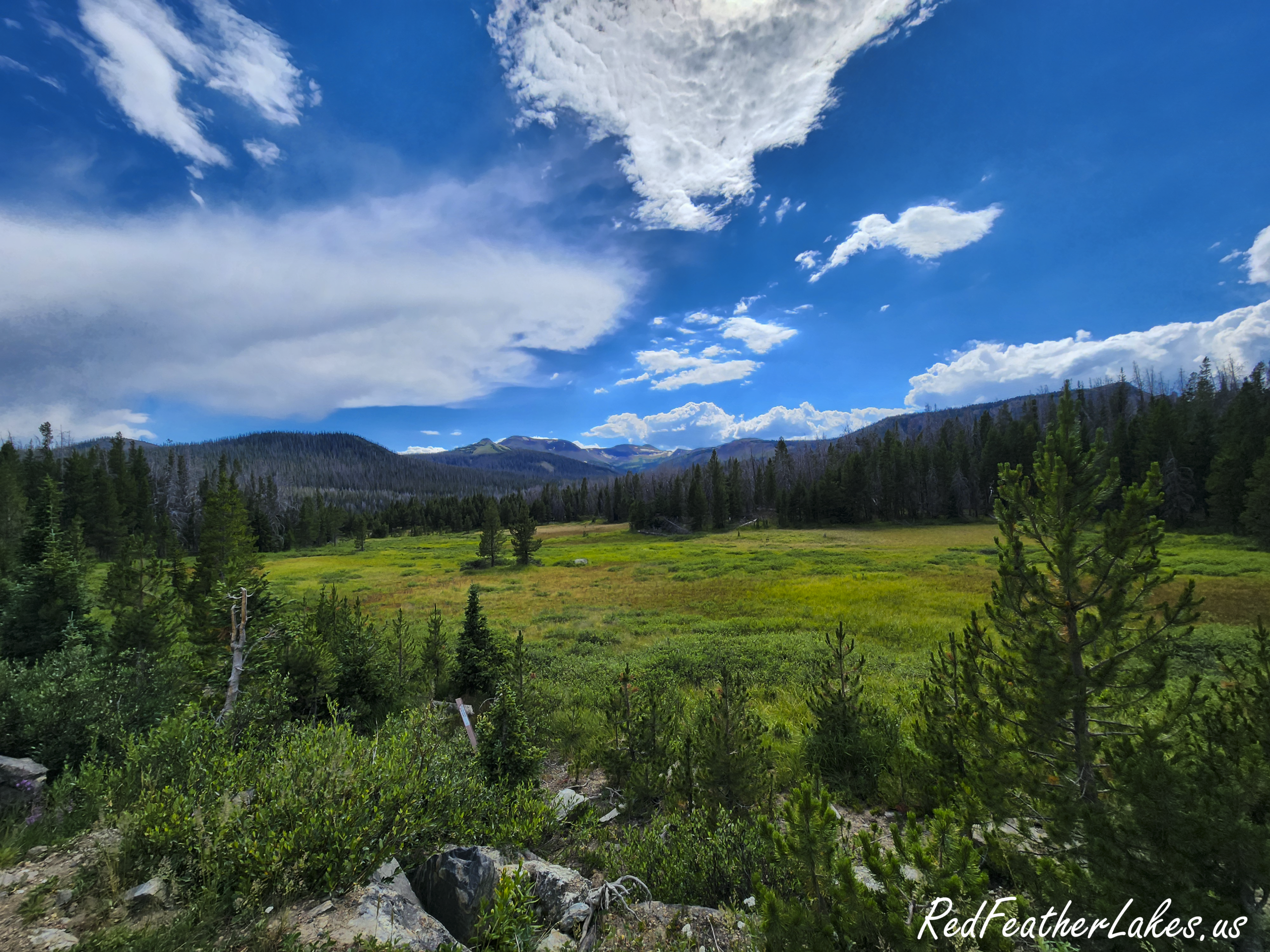
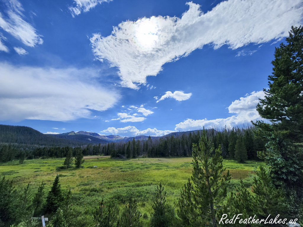
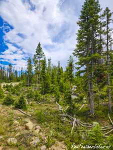
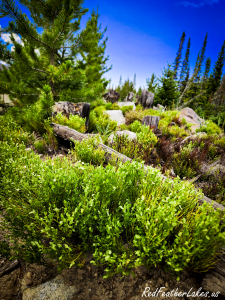
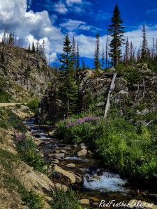
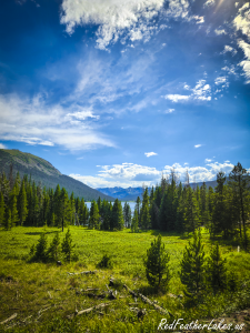
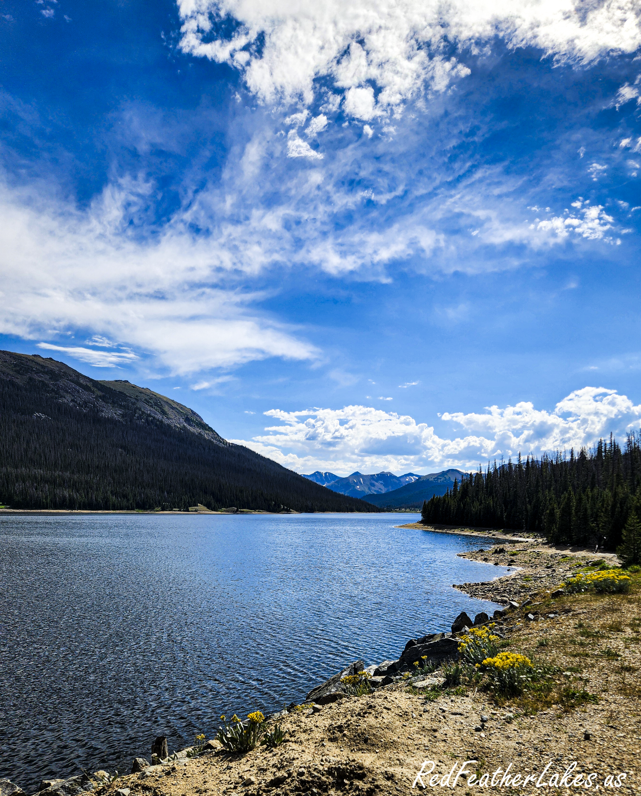
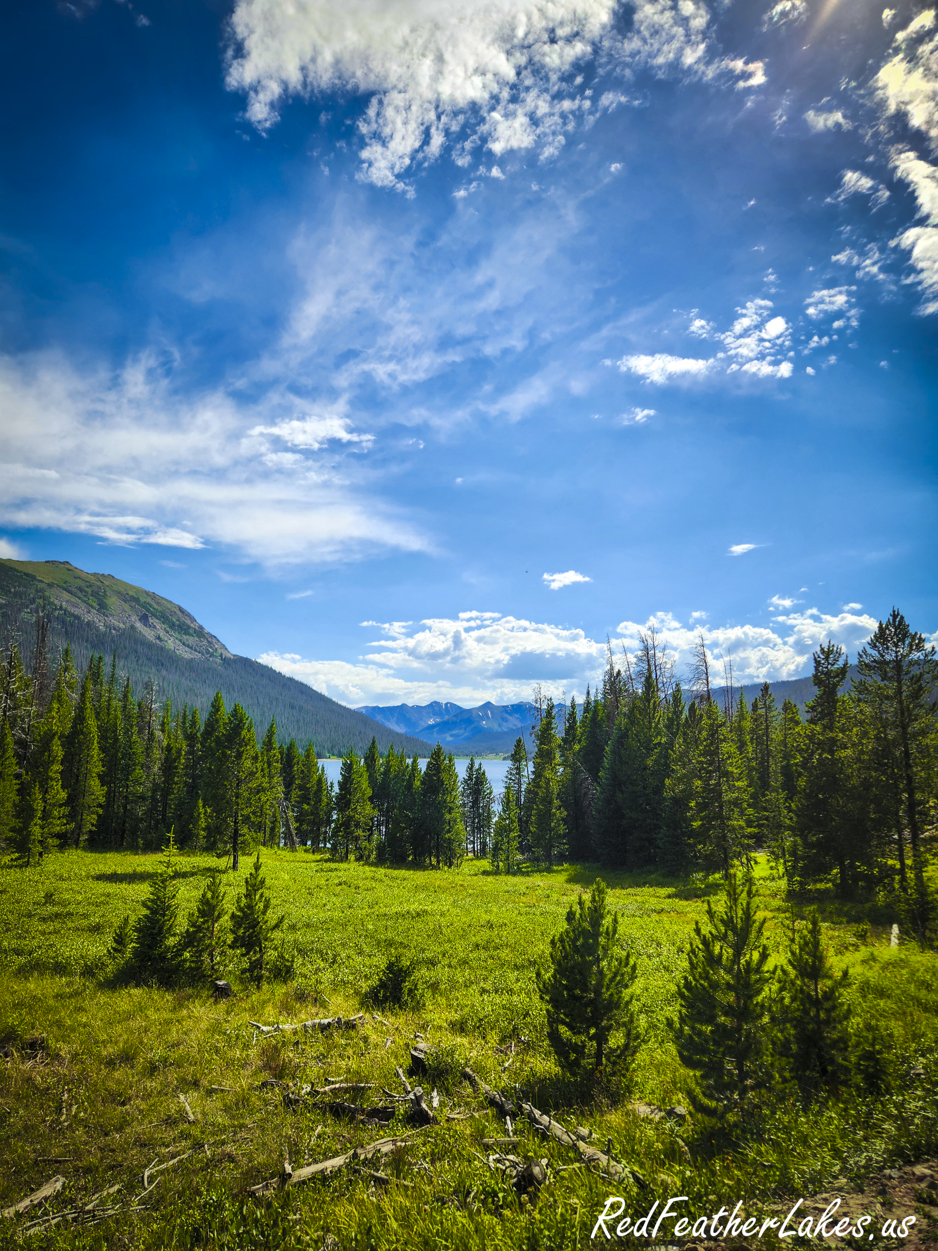
High meadow and peaks along Long Draw Road, the 12-mile dirt climb from the upper Cache la Poudre Canyon to Long Draw Reservoir

Long Draw Road: A High-Country Scenic Drive Above the Poudre Canyon

Long Draw Road is a 12-mile dirt road that leaves the upper Cache la Poudre Canyon and climbs to Long Draw Reservoir, an alpine lake sitting at about 10,030 feet in the headwaters of the Poudre. The turnoff is about 5 miles east of Cameron Pass, and the road ends past the reservoir on the northern boundary of Rocky Mountain National Park. It is one of the most scenic short drives in Northwest Larimer County, and you’ll likely have long stretches of it to yourself.

This is high country with a short season and no services, so a little planning goes a long way. Here is what to know before you point the car up it.


Getting there, and how long it really takes

Almost everyone reaches Long Draw one of two ways: up Highway 14 through the Poudre Canyon from Fort Collins, or over Cameron Pass from Walden and North Park to the west.

Give yourself more time than the map suggests. From Fort Collins it is only about 60 miles to the turnoff, but these are winding canyon roads: plan on a solid 1.5 to 2 hours just to reach the start of Long Draw Road, and longer if you stop along the way (you will). From Walden it is roughly 35 miles over Cameron Pass, close to an hour. Then add the drive itself.

Go on a weekday if you possibly can. The Poudre Canyon gets busy on summer weekends, and this drive is far more enjoyable, and far easier to photograph from, when the road is quiet. A weekday day trip is the sweet spot..

Loading...

Seasons on Long Draw: When to visit

Long Draw Road opens around July 1 and stays open until the snow closes it, usually sometime in mid-November. There is no winter access by car; once it closes, the route becomes a snowmobile and ski trail. Because the closing date depends on the weather, always check current conditions before a late-season trip.

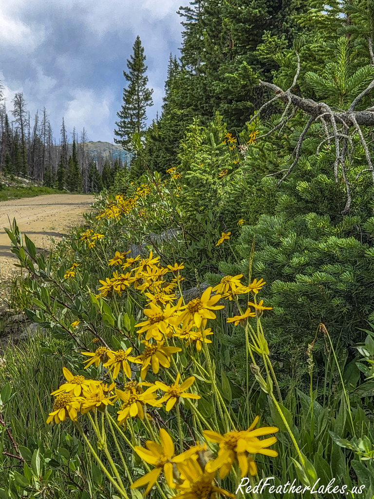
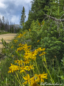
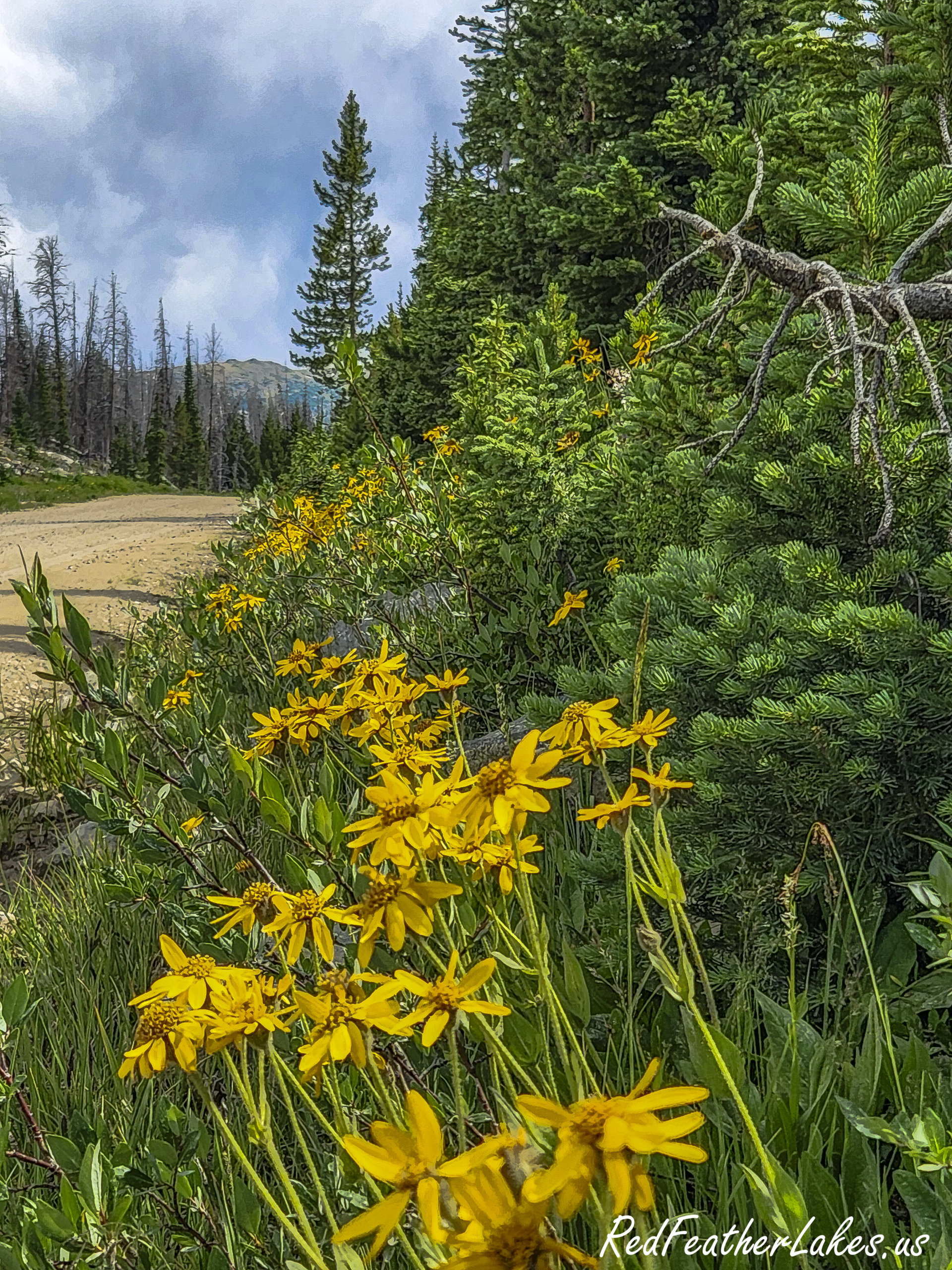
Mid-summer arnica in bloom along Long Draw Road, the short season when the road is open and the wildflowers peak

Summer Wildflowers

The real highlight up here is the wildflowers. Through mid-summer the meadows along the road fill in with color, and that, more than fall, is the reason to time a visit. If you are chasing autumn color, aim for the last two weeks of September, when the high country turns first, but be realistic about what this particular drive offers.

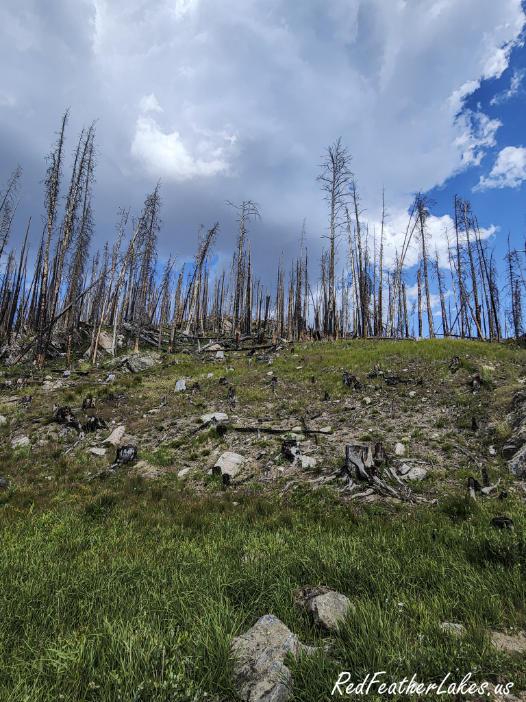
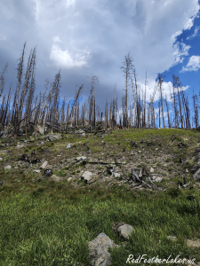
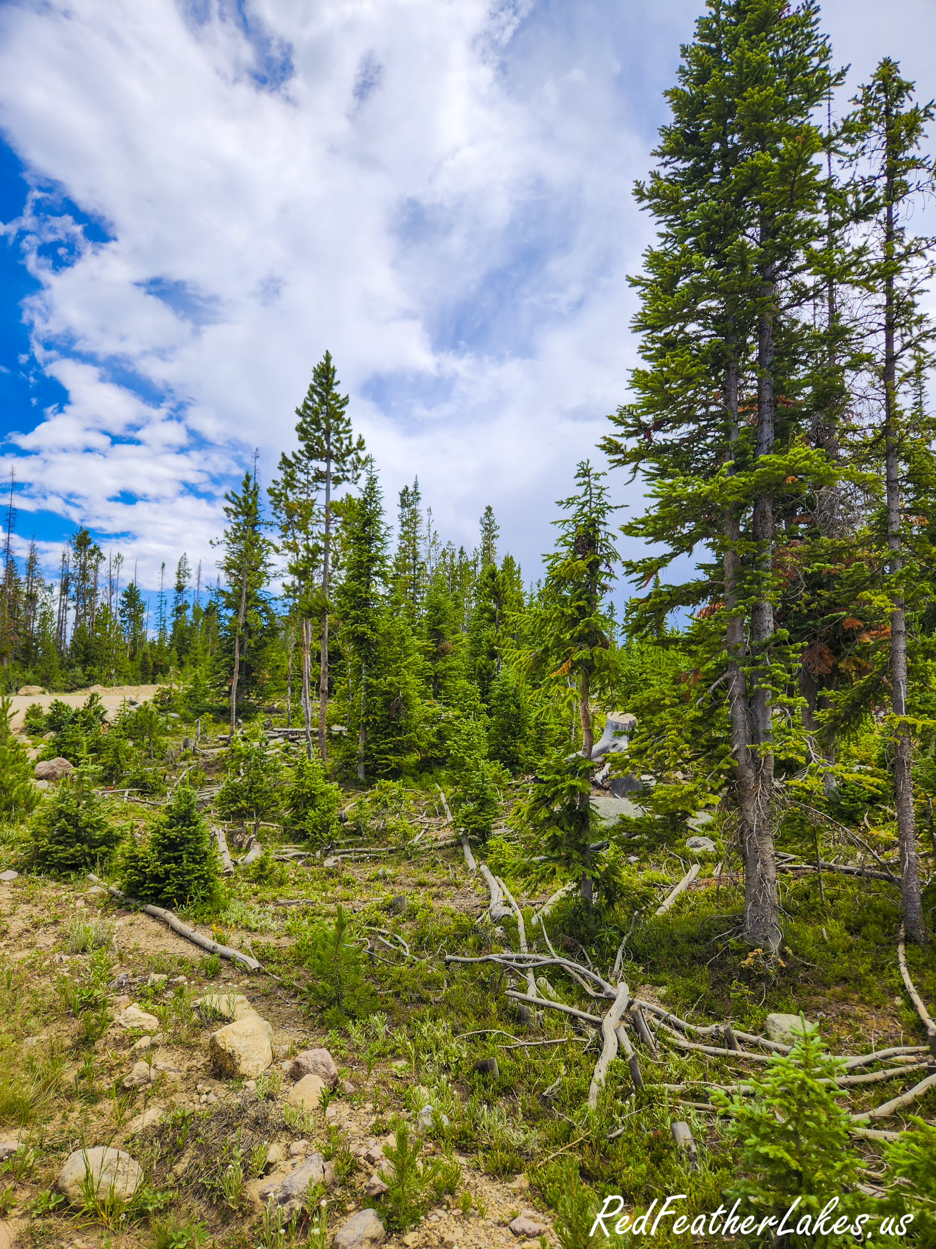
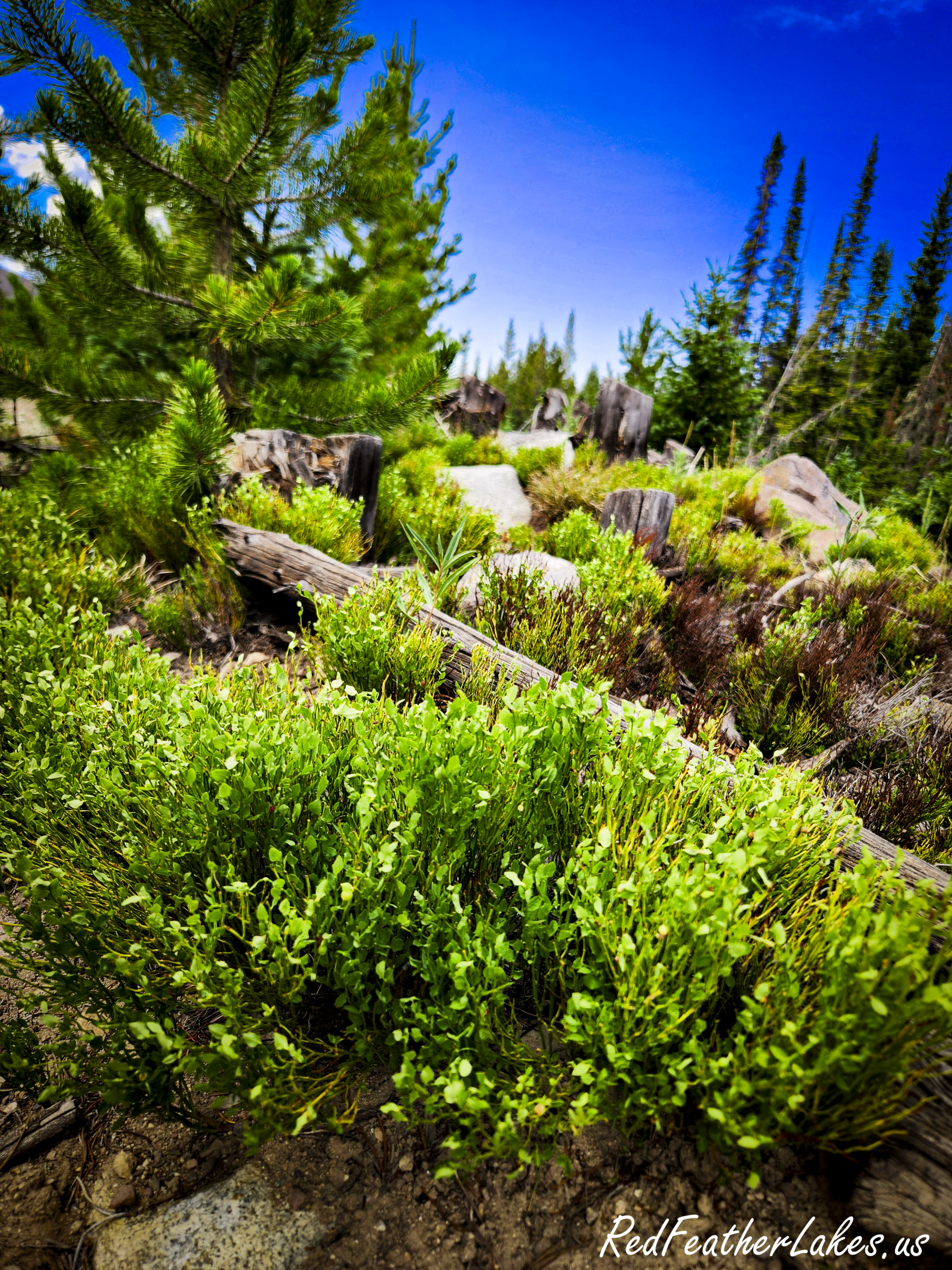
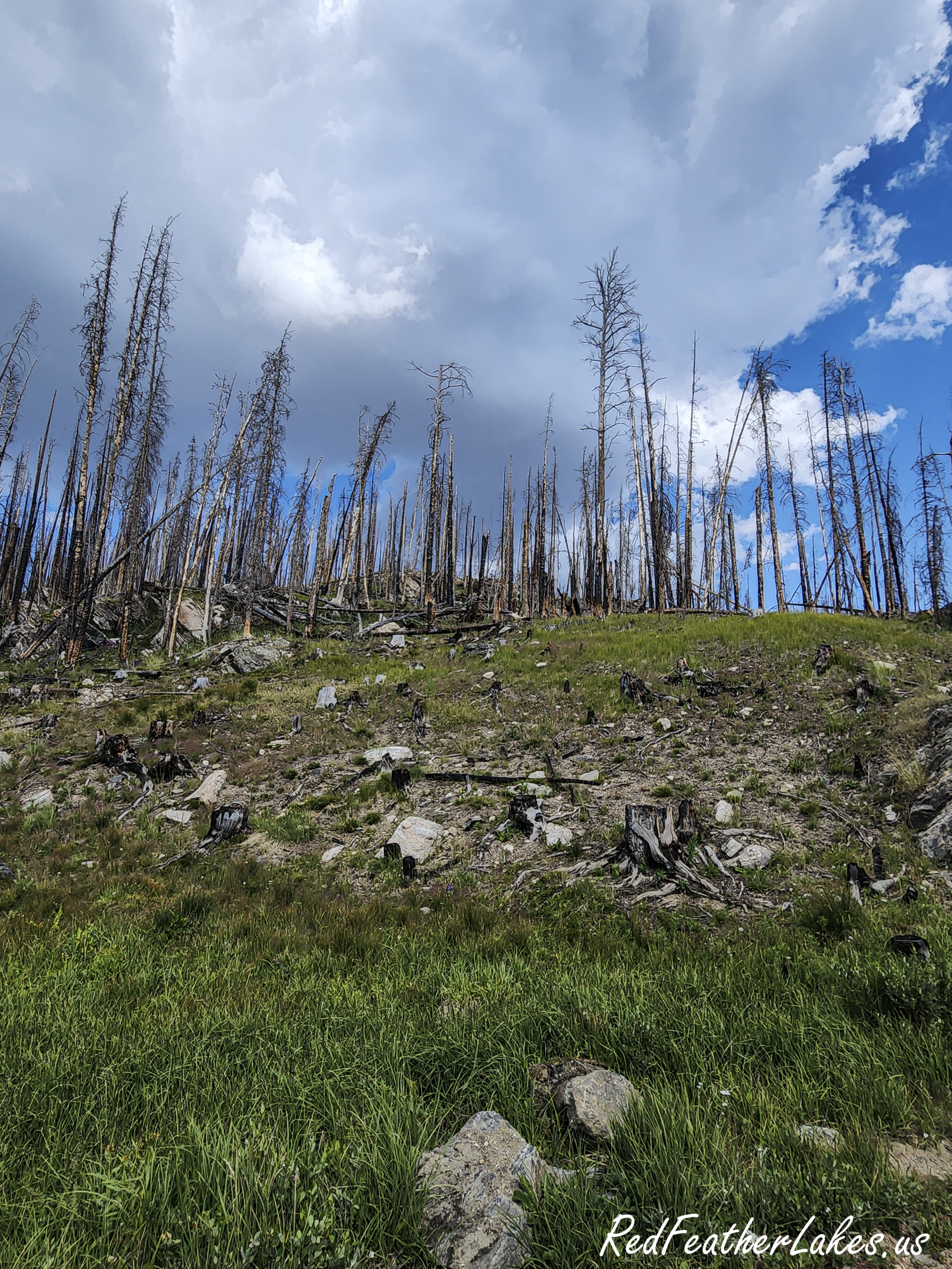
Silvered standing timber and young green regrowth in the Cameron Peak burn scar along Long Draw Road

Cameron Peak Burn Scar

Much of this country burned in the 2020 Cameron Peak Fire, the largest wildfire in Colorado history at nearly 209,000 acres, which ignited in this very area between Cameron Peak and Chambers Lake. You will drive through extensive burn scar: silvered standing timber with young green forest pushing up beneath it. It is a striking, changing landscape, and right now it is part of the story of the upper Poudre.

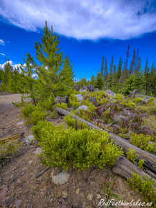
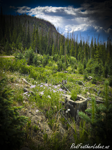
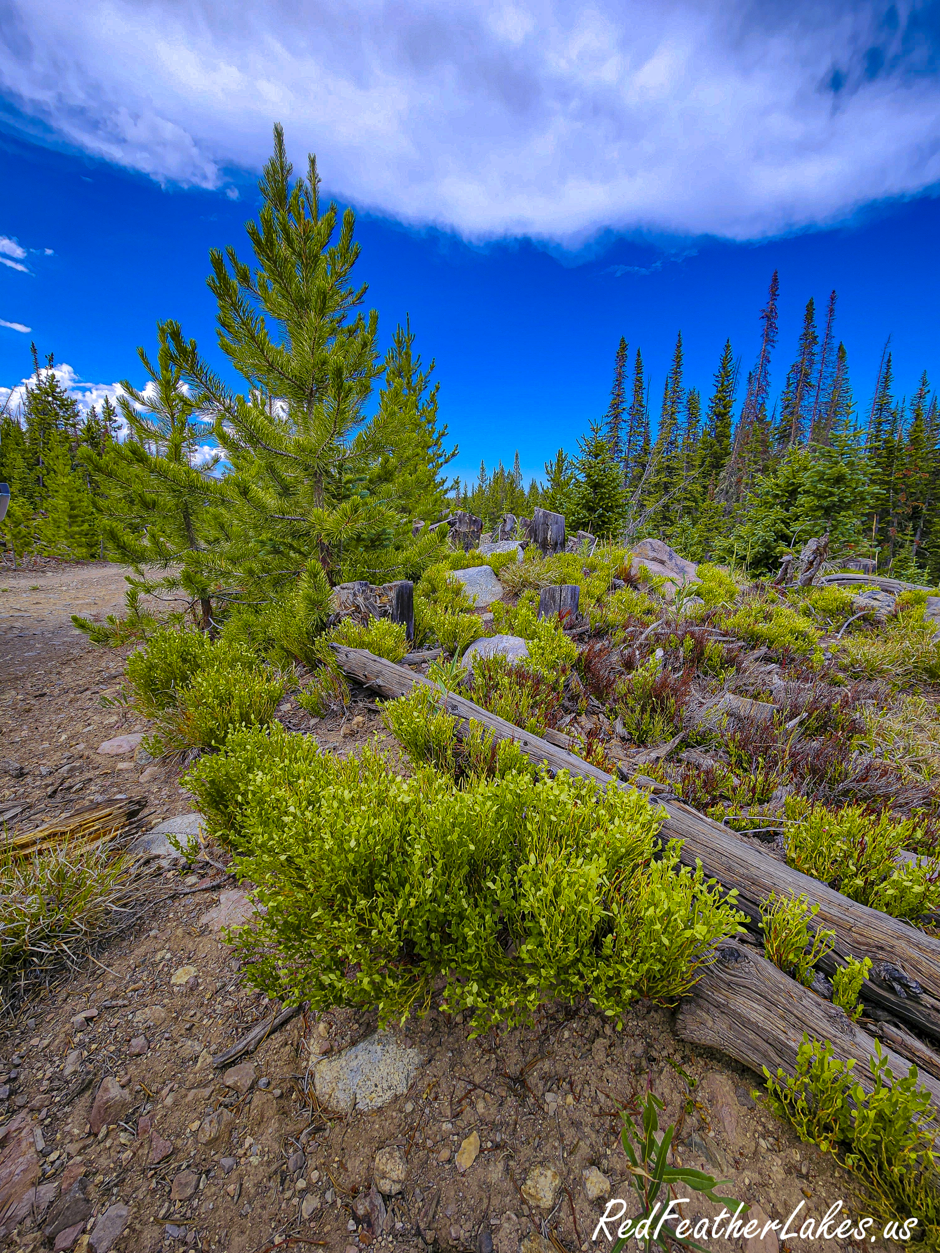
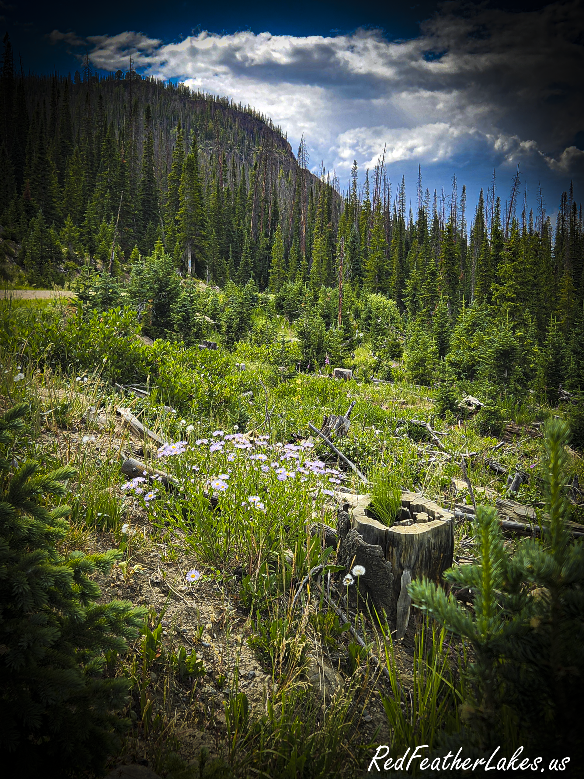
Open meadow and spruce-fir forest below the peaks on Long Draw Road, the quiet meadow country the drive offers in fall

Fall Color – Red Willows Predominate Over the Golden Aspen

The forest along Long Draw is mostly spruce, fir and lodgepole pine, not aspen. If hillsides of shimmering gold are what you are after, you will find far more of them on the west side of Cameron Pass toward State Forest State Park than up this road. What Long Draw offers in fall is quiet, meadow and willow lining the drainages and ponds, and the reservoir with almost no one else around.


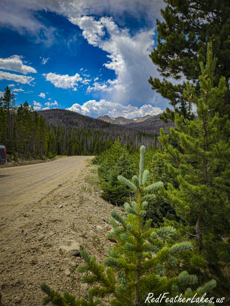
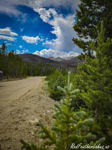
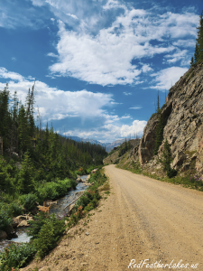
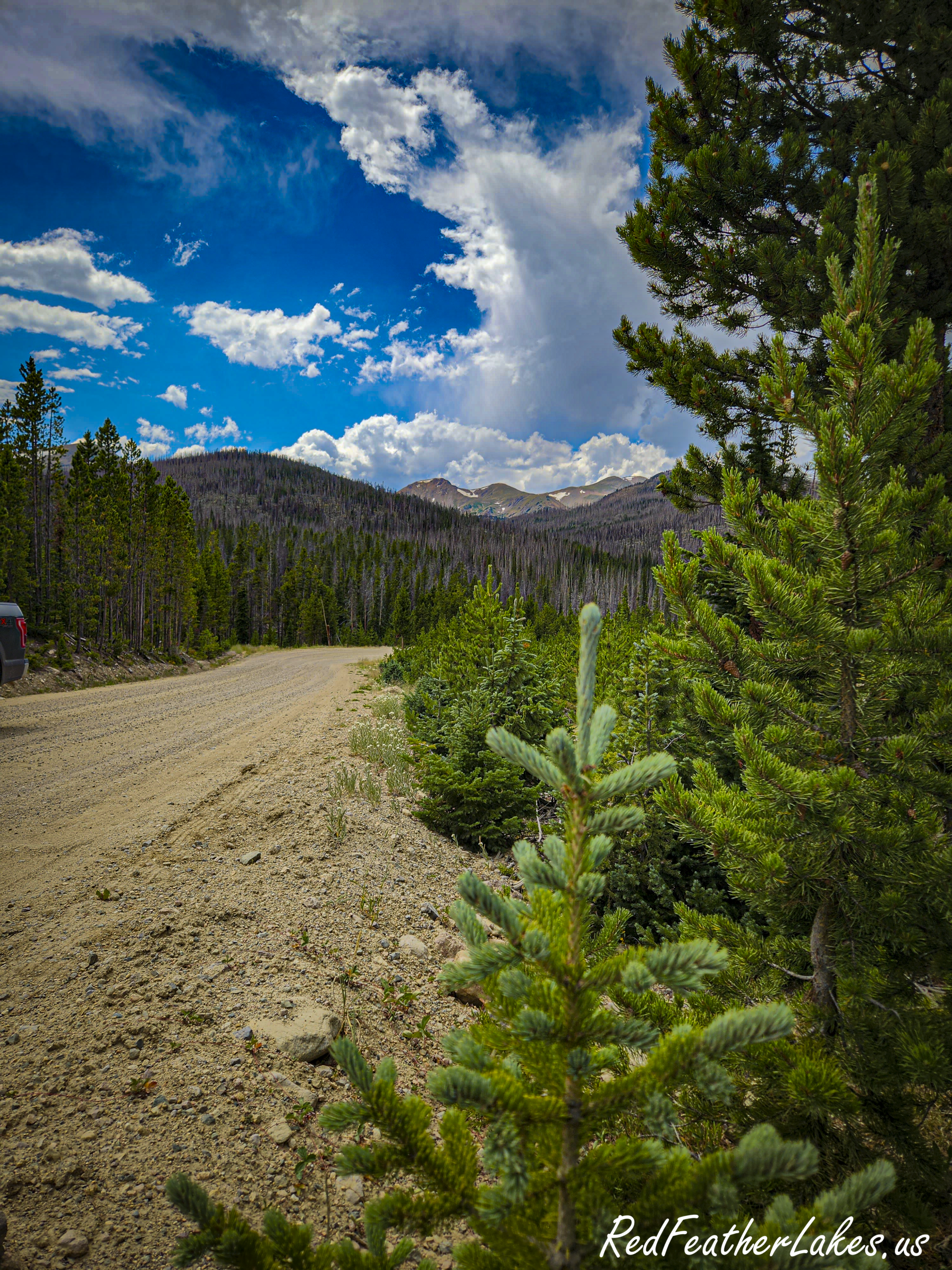
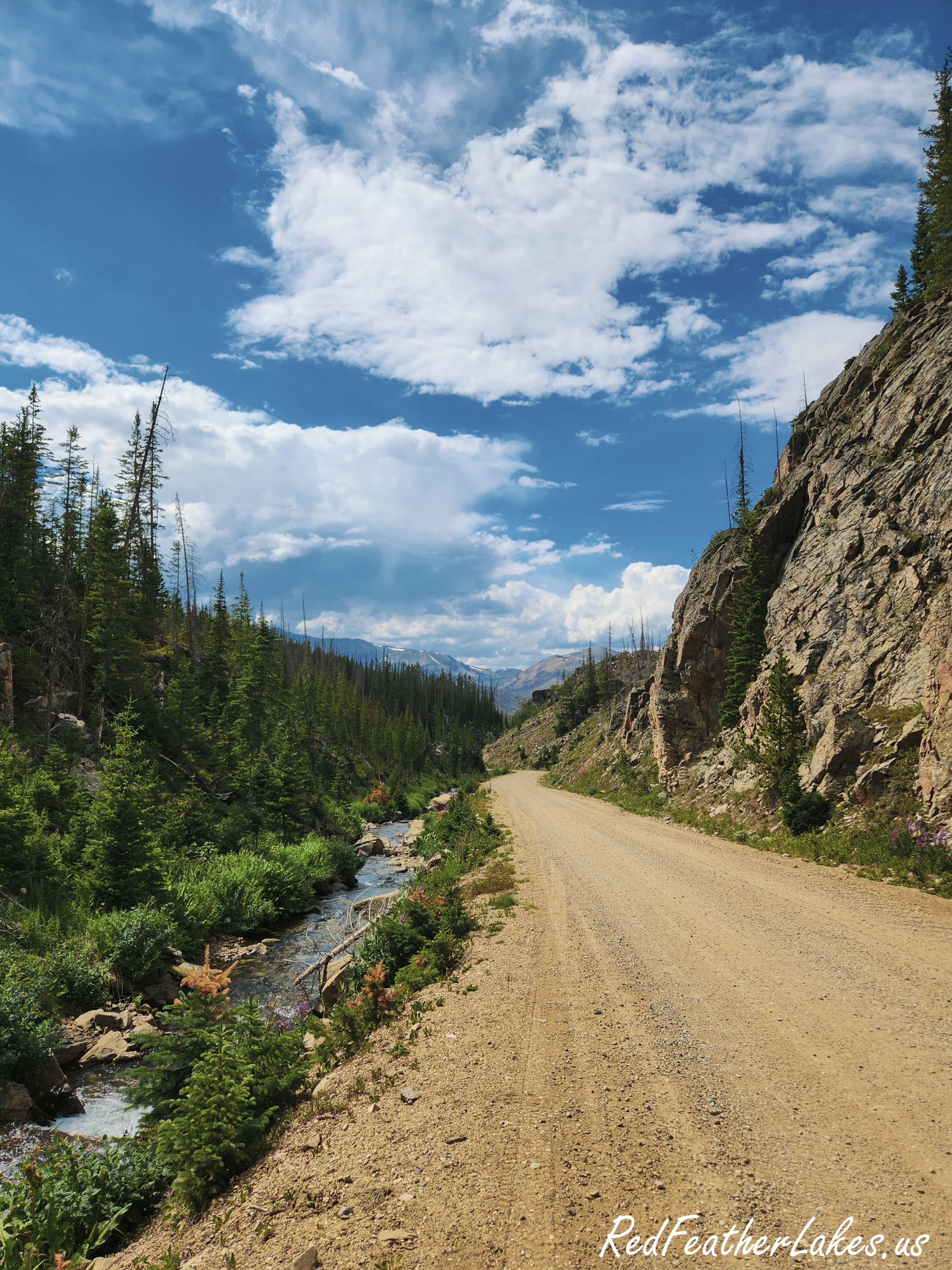
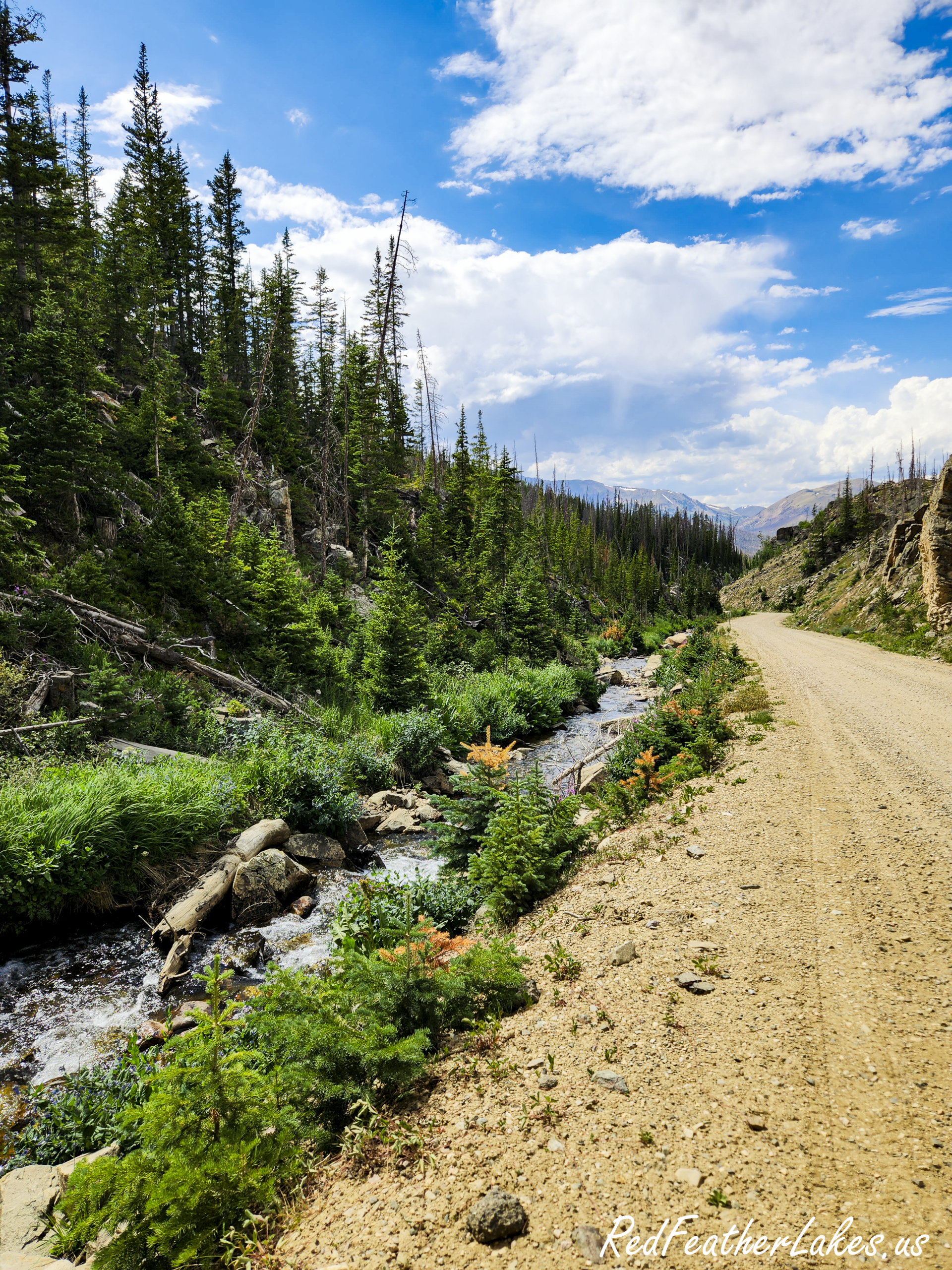
The wide, well-maintained dirt surface of Long Draw Road, passable for a passenger car in dry summer conditions
Long Draw Road is wide and well-maintained.
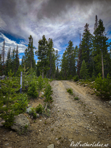
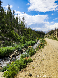
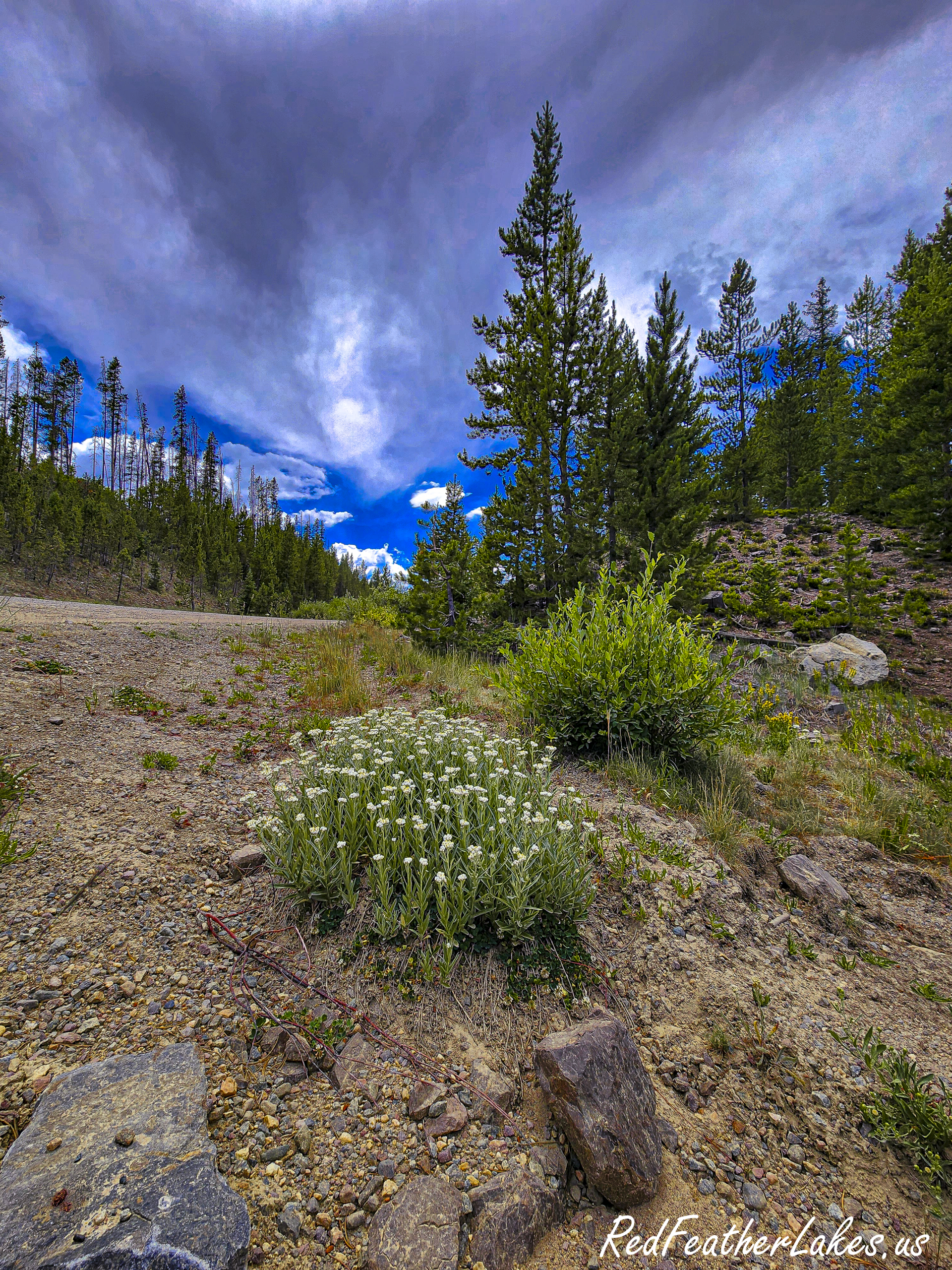
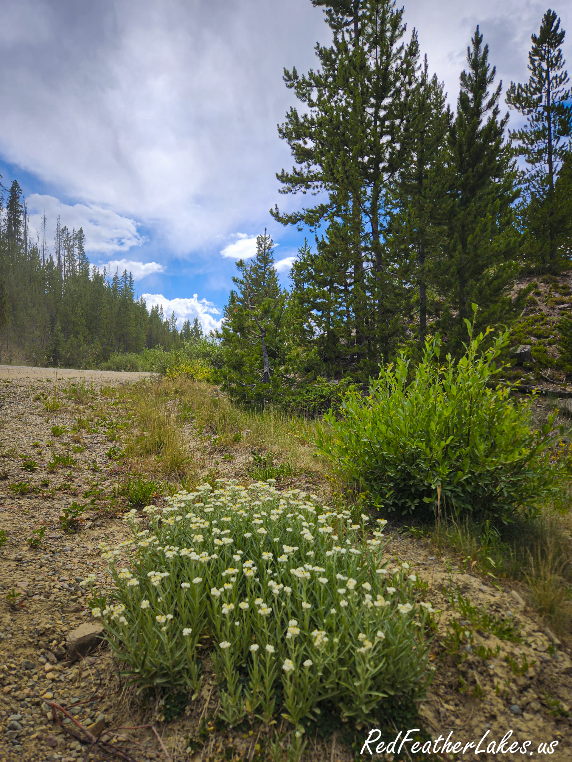
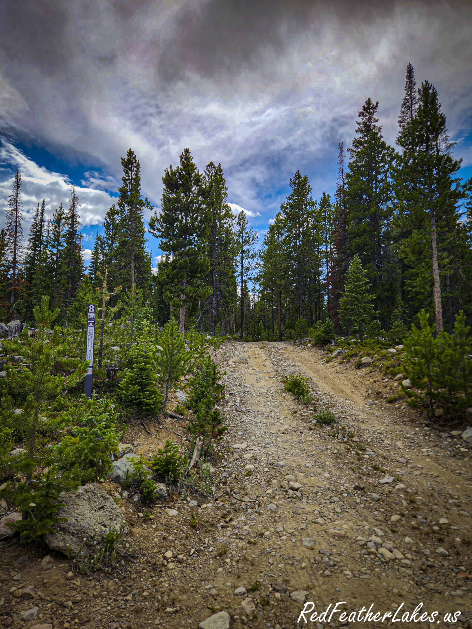
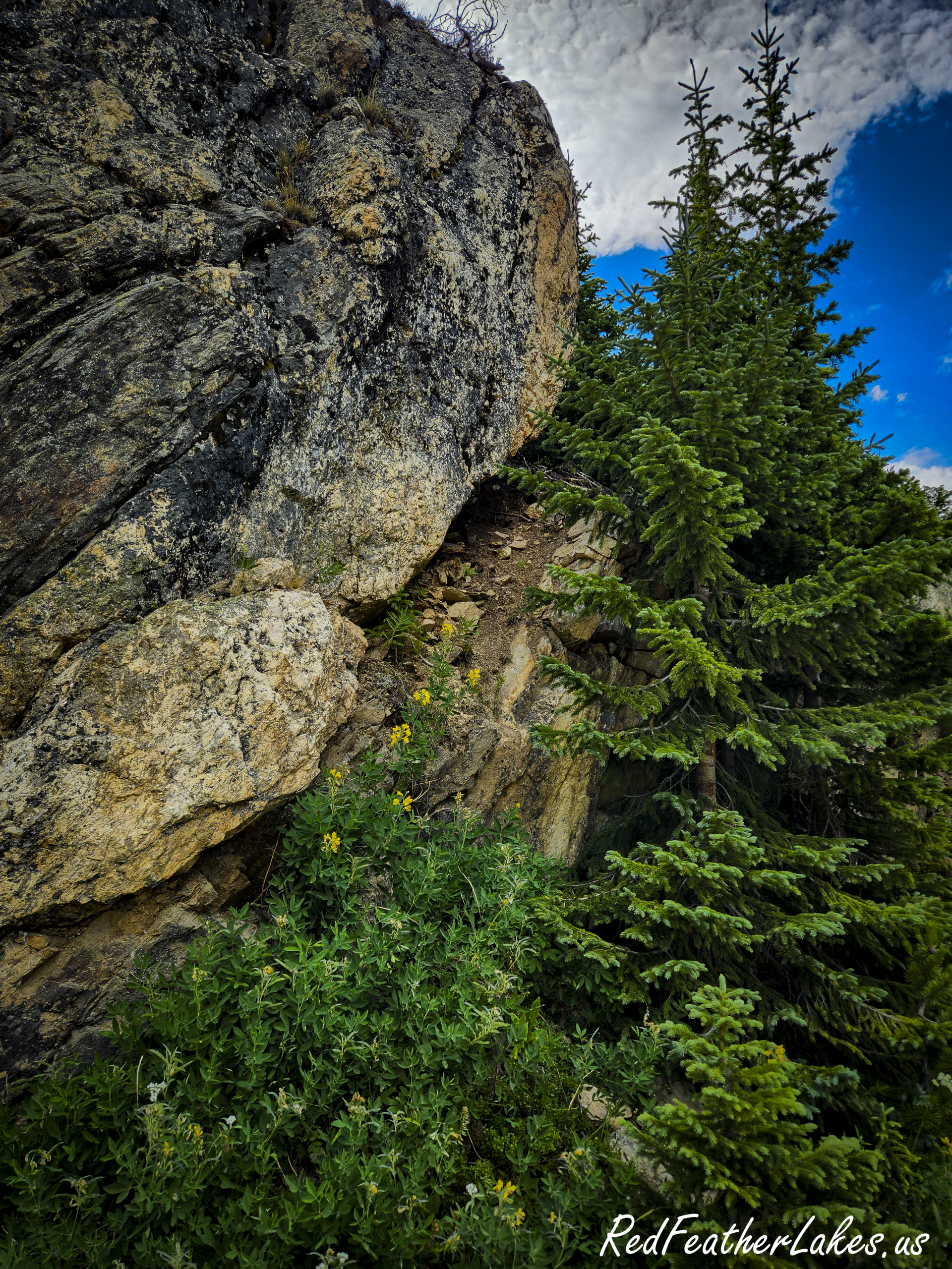
A rocky forest road running through lodgepole pine under a deep blue sky along Long Draw Road, upper Poudre Canyon, Colorado
Rock in the roadbed on the side spurs.

Do I need 4-Wheel Drive?

Not for Long Draw Road itself. It’s all dirt and generally well maintained and wide, not a narrow shelf with a drop on one side. In dry summer conditions a passenger car can make the trip without trouble. Take it slow, and expect some washboard in places. Nothing to worry about.

Afternoon thunderstorms are the rule up here rather than the exception, so just be aware

And the side spurs off the main road, including the tracks out to the dispersed campsites, are a different animal: rough and rutted, and they genuinely want high clearance and four-wheel drive. Stay on the main road and you are fine.


Long Draw Photo Gallery

What to Look for Along Long Draw Road

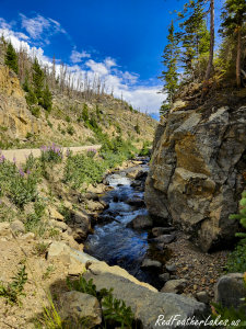
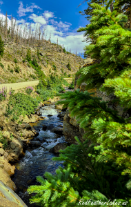
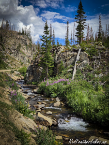
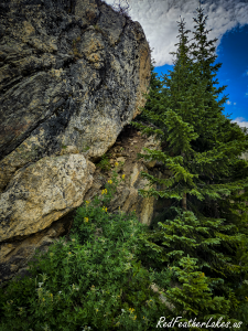
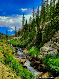
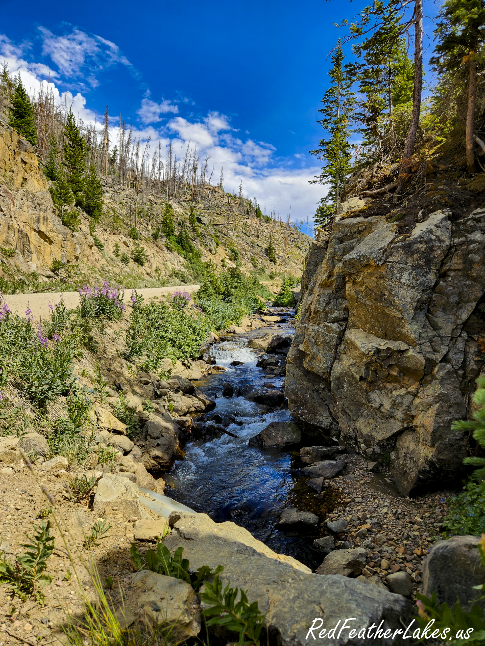
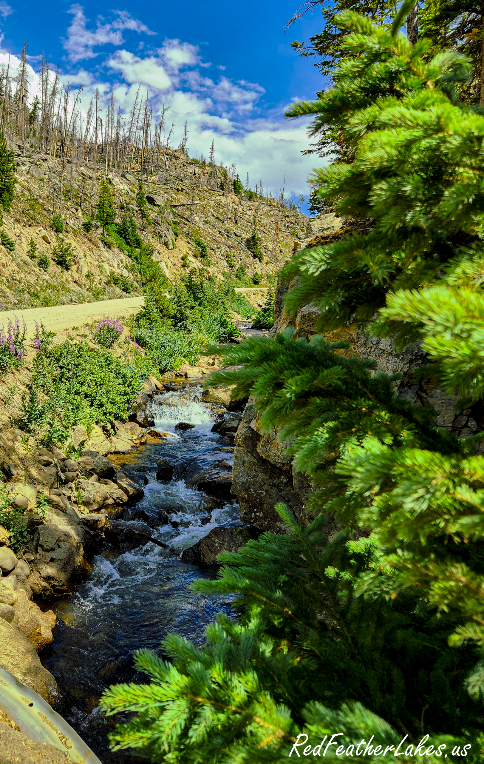
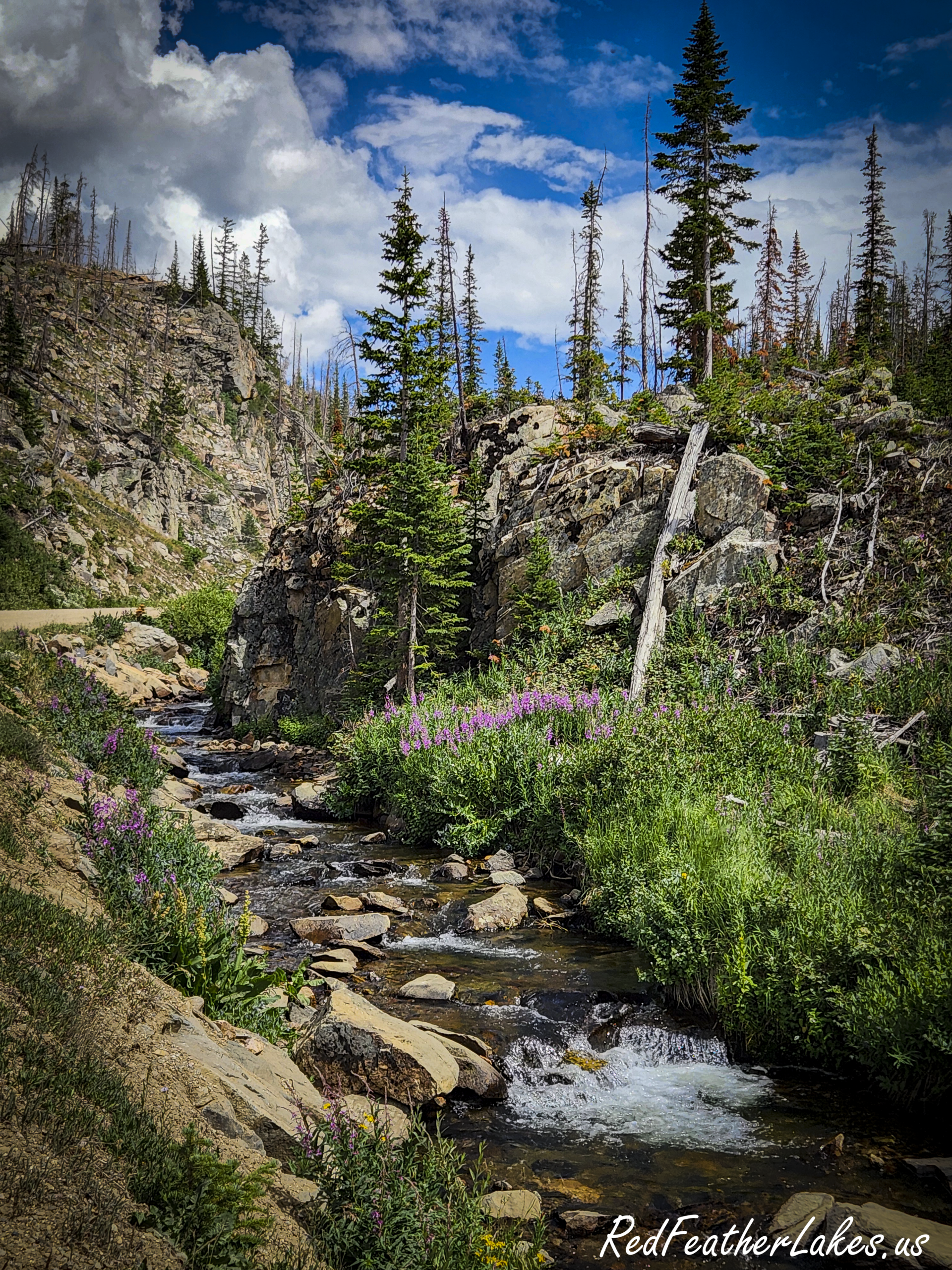
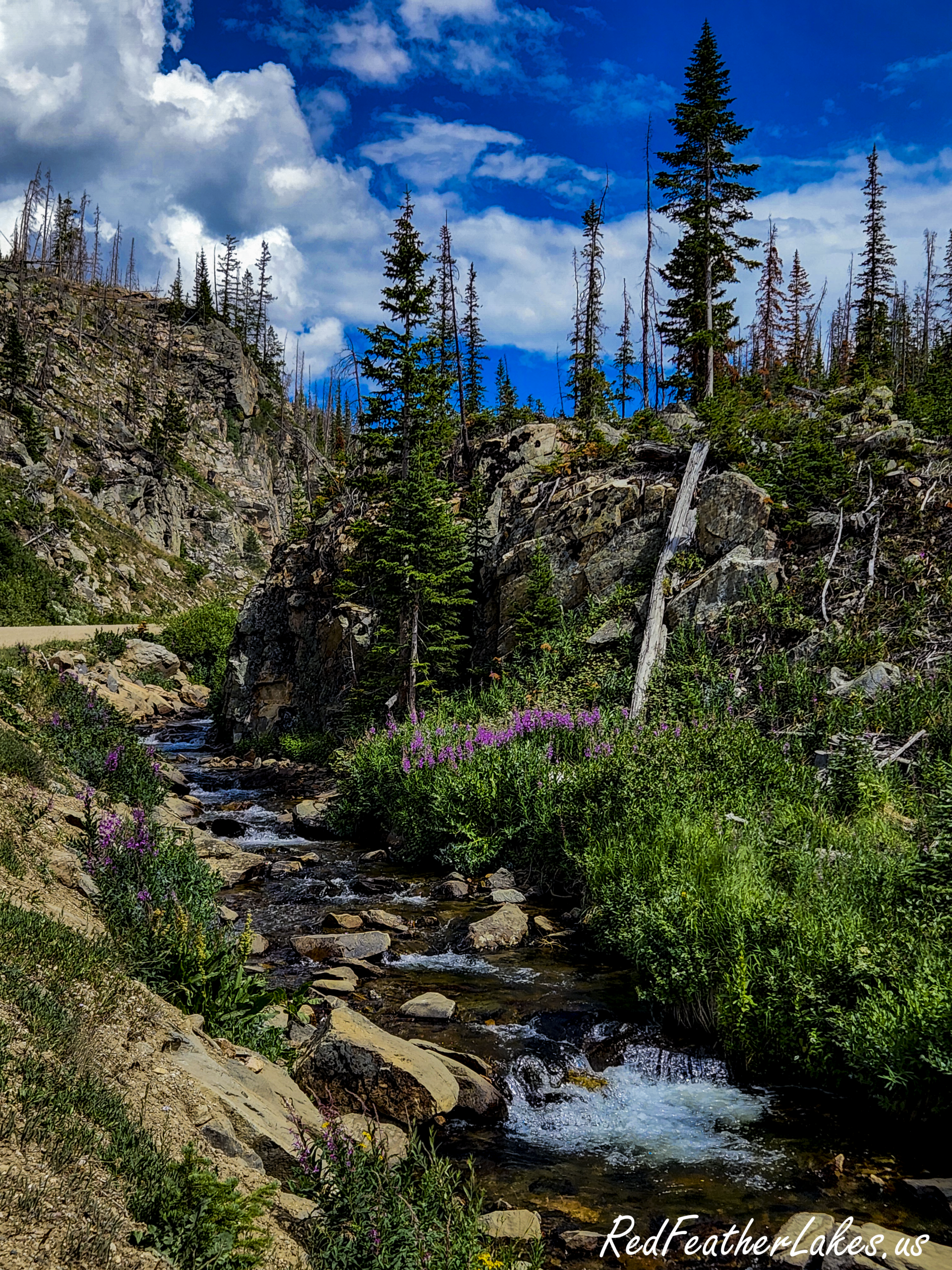
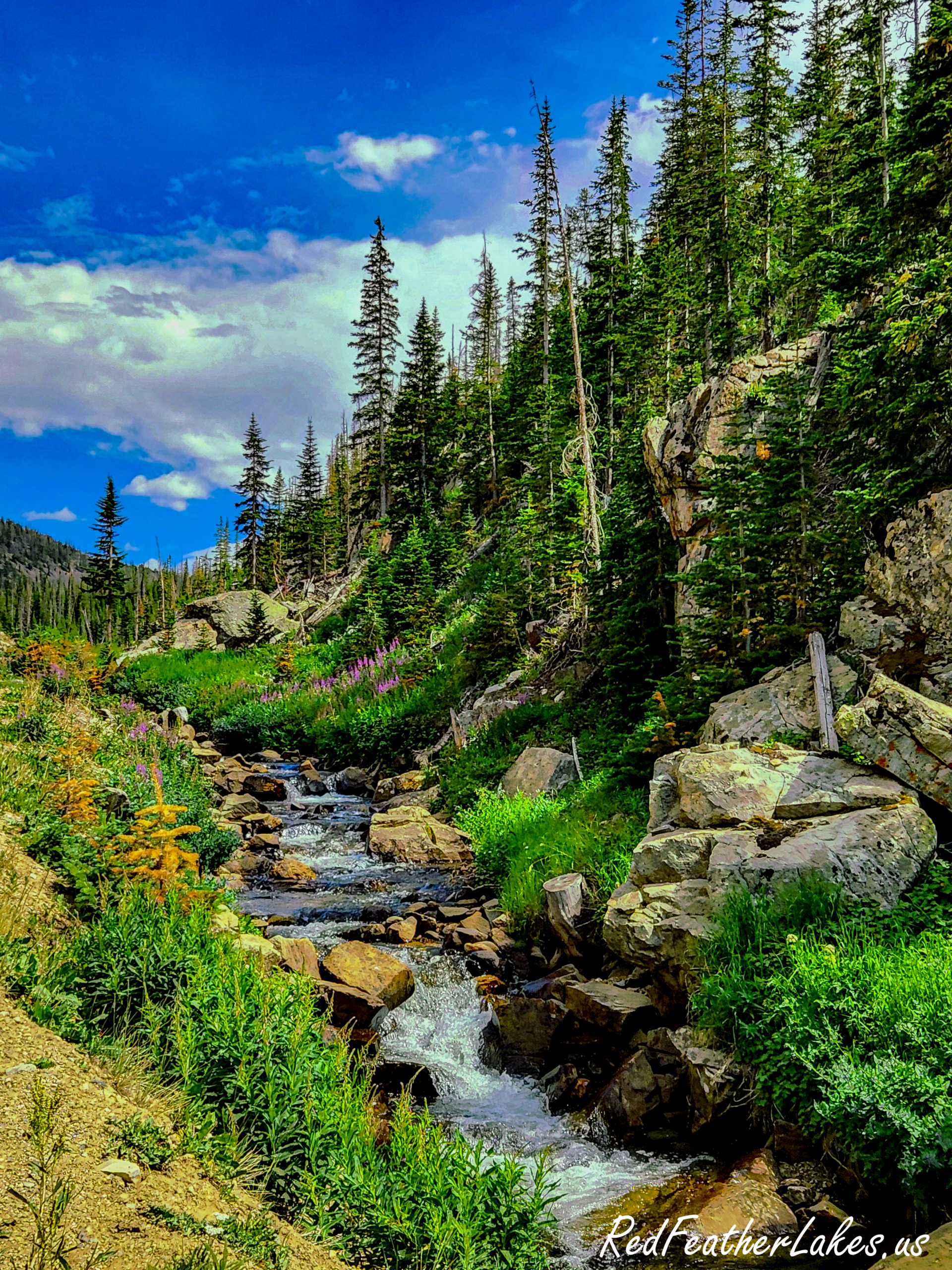
What makes the drive worth the time is the variety packed into about 10 miles. You pass creek bottoms with cold snowmelt streams, open subalpine meadows (the wildflowers), stands of lodgepole, the recovering Cameron Peak burn scar, high rock outcrops, and finally the alpine reservoir itself. You can take in nearly all of it from the car, which makes it a good choice on a tight schedule or for anyone not up for a long hike.

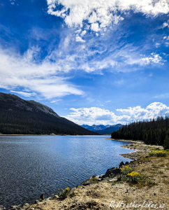
This is bighorn sheep country, and the road runs through the headwaters of the Cache la Poudre, the beginning of the river that eventually flows through downtown Fort Collins. At the top, Long Draw Reservoir sits at about 10,030 feet, built in the early twentieth century to store water from the Poudre headwaters. It is about as high as you can drive to a lake in this part of Colorado.


Camping and Lodging Options Nearby

Overnight Stays -Catch the Sunrise & Sunset

The light up here is spectacular at both ends of the day, but Long Draw is a long, dark, no-signal drive to attempt twice in one day.
If you want to catch sunrise or sunset at the top, or simply not rush, stay close. The nearest options, from every direction:

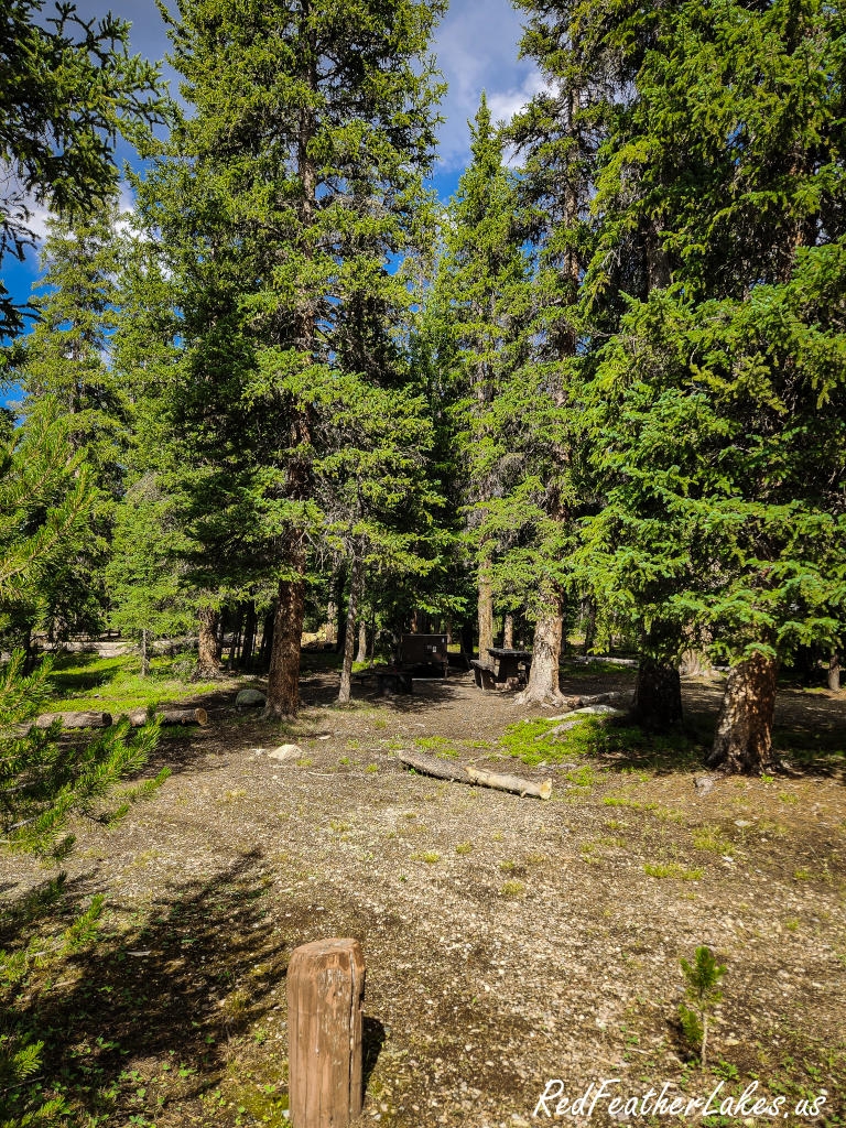
A shaded campsite at Long Draw Campground, the closest place to stay for sunrise and sunset at the reservoir
A Shady Campsite at Long Draw Campground

Before you go

Planning makes every trip a little smoother. Here’s what you need to know:

01

There are no services

No fuel, water, food or trash facilities anywhere up the road. Fill the tank and stock up in Bellvue, Rustic or Walden before you turn off Highway 14, and pack out everything you bring in.

02

There is no cell signal

Don’t count on a phone up here for navigation or in an emergency. Download or print your maps before you leave pavement, and tell someone where you are going and when to expect you back. Forest Rangers do regularly patrol up here.

03

Weather turns fast

Afternoon thunderstorms build over these peaks with little warning, and 10,000 feet is no place to be caught in an electrical storm. Start early, and plan to be heading back to camp or town by mid afternoon.

04

Fire restrictions apply

This is dry, high-elevation forest, and restrictions change through the season. Check the current stage before you plan any fire; see our Larimer County fire restrictions page for what is in effect right now.

05

Leave it as you found it

Pack out everything, including what other people left behind. This country stays beautiful because the people who love it carry their trash back down.

06

Take Your Time

Go on a quiet weekday, take your time, and let the wildflowers and the headwaters be the point. We drive this road ourselves, and every photograph on this page was taken up there.

Faye & Chris
Author: Faye & Chris

We're Faye and Chris, and we live up here in the Rocky Mountains of Larimer County. Everything on this site comes from actually being out in it — Chris is the driver, and Faye is the writer/photographer. Between us we built the Larimer Wilds apps so other people can find this wild mountain country too. We're not a tourism board and nobody pays us to say any of this. We're two people who love, hike, bike and ride Northwest Larimer County and would rather help you do it right than watch you learn it the hard way.
Shopping Cart
Scroll to Top