

Some of the finest driving in Colorado is right here. From a National Scenic Byway that climbs to the roof of the Rockies to quiet gravel back roads through ranch country and pine forest, Northwest Larimer County is made for slowing down and taking the long way. Whether you have a couple of hours or a whole day, here are the drives worth the trip — and a few things to know before you point the car uphill.
The Cache la Poudre–North Park Scenic & Historic Byway
The crown jewel. This designated National Scenic Byway runs about 101 miles from Ted’s Place (US‑287 & Highway 14, north of LaPorte) up the wild Cache la Poudre River, over 10,276‑foot Cameron Pass, and down into the wide-open North Park at Walden. Plan two to three hours one way — more, because you’ll want to stop.
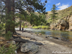
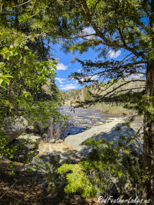
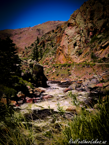
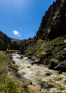
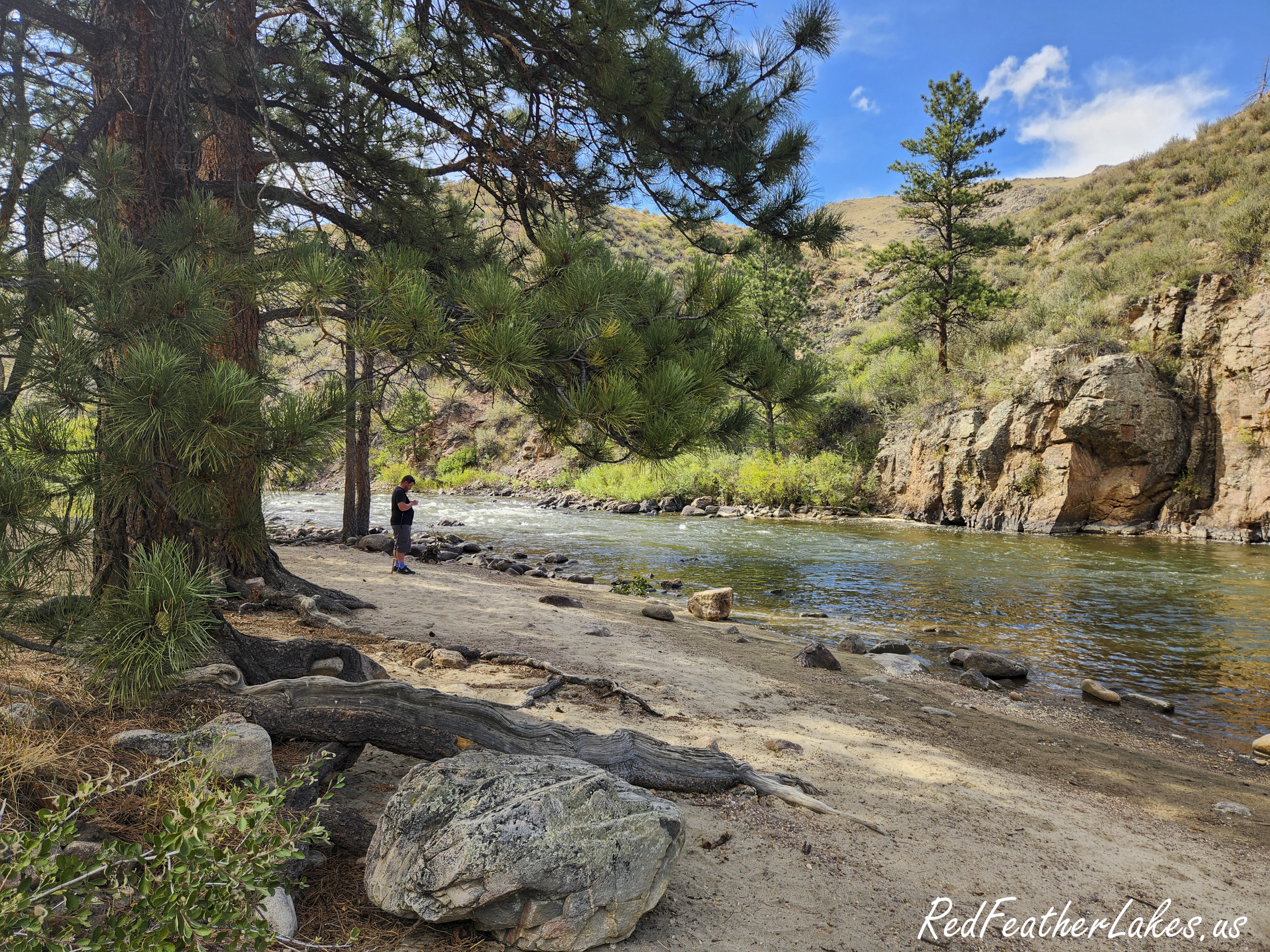
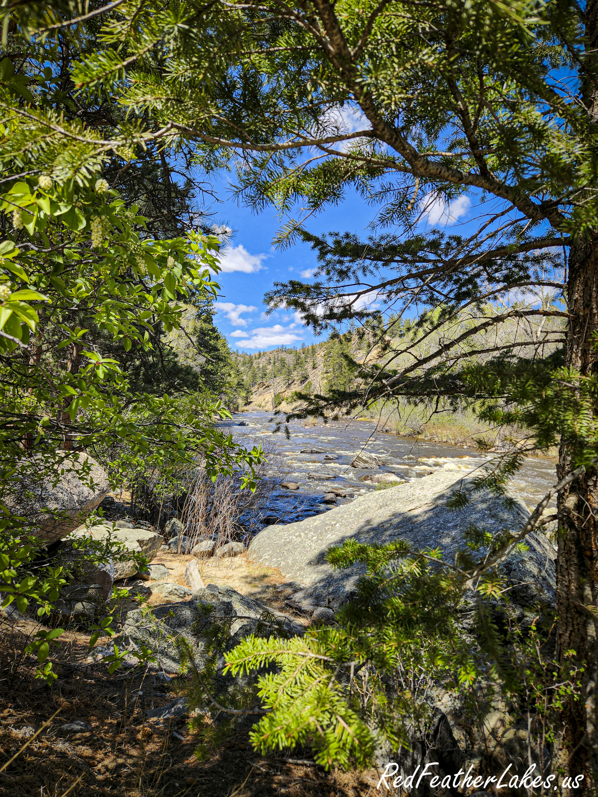
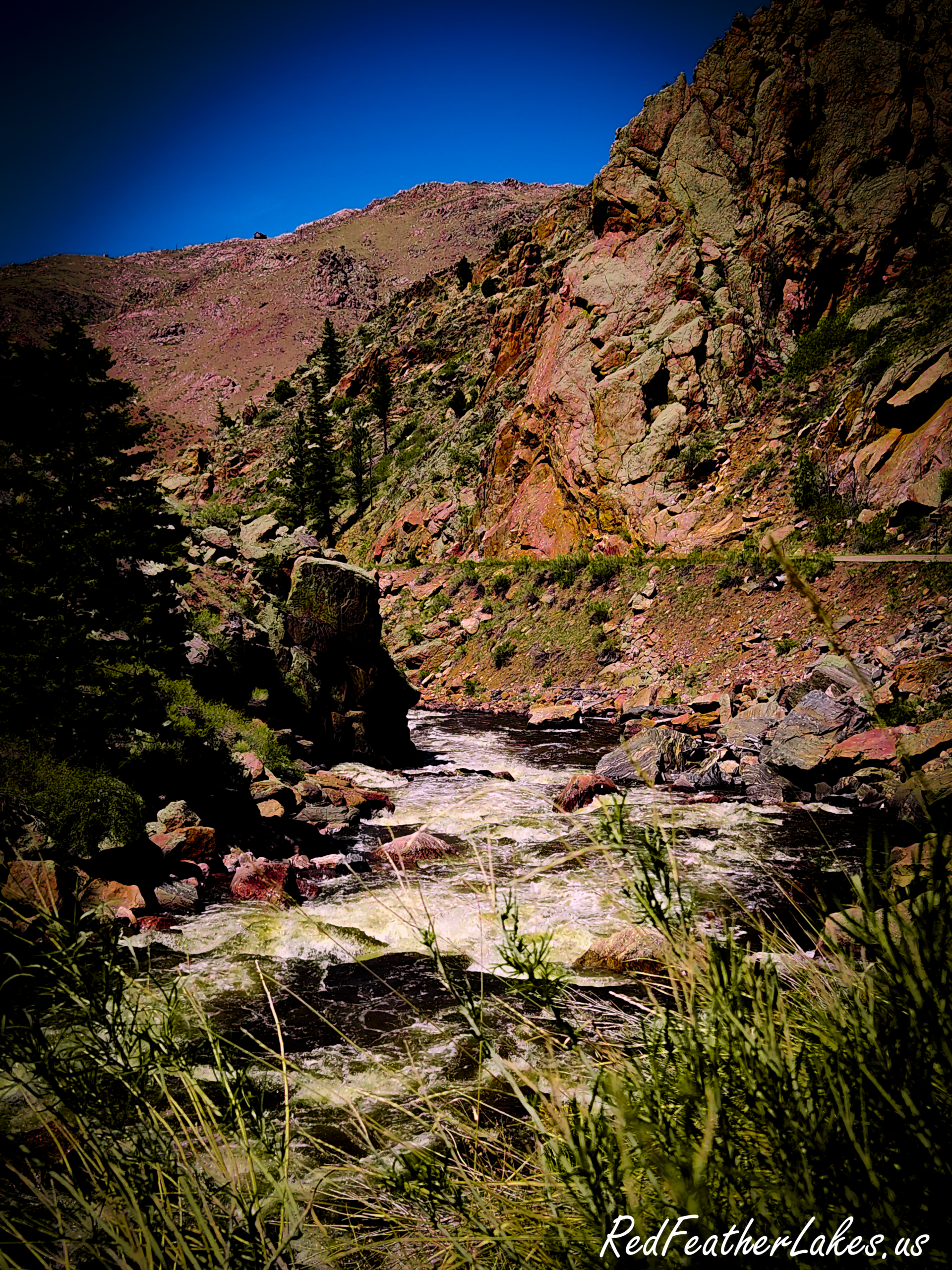
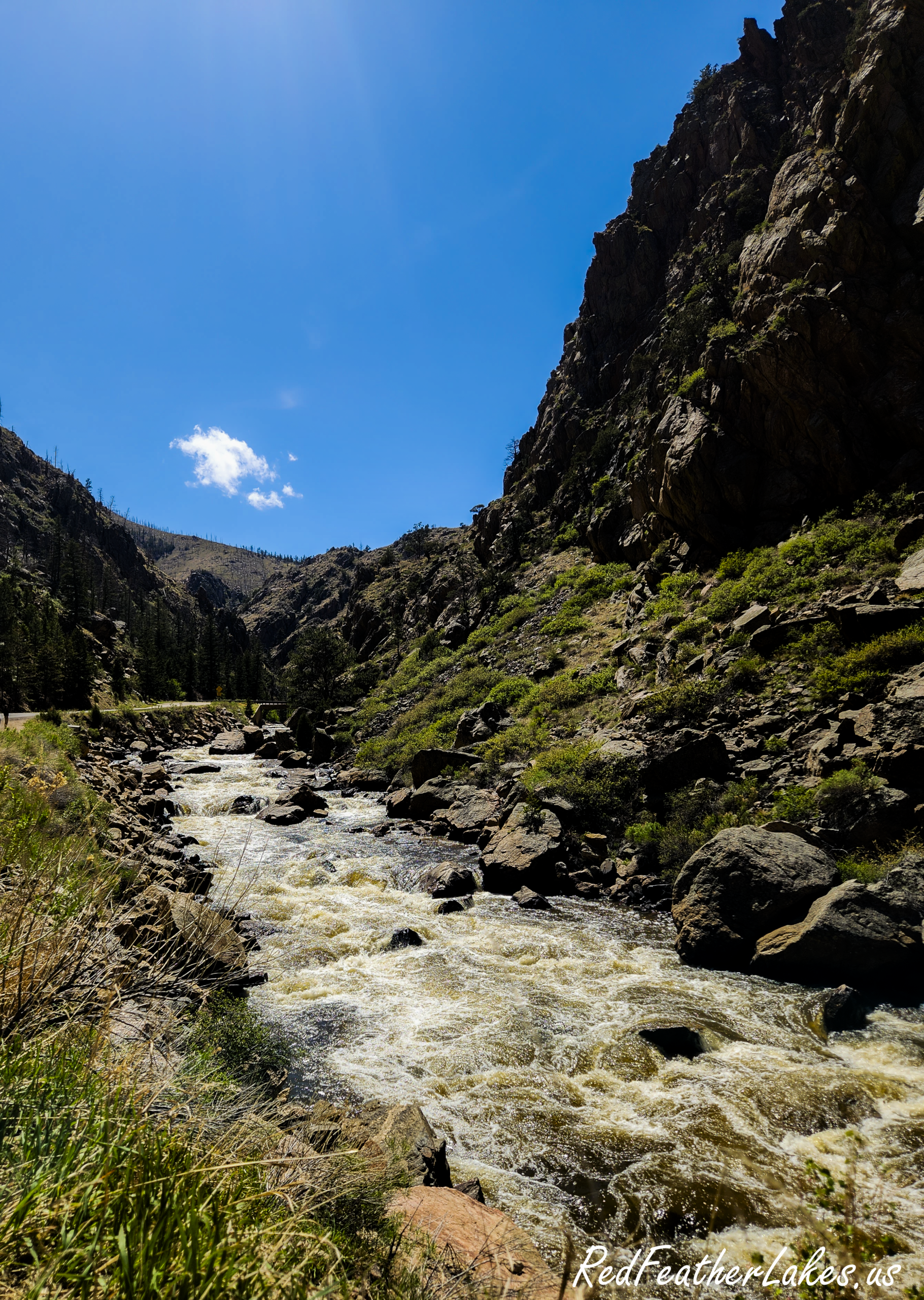
Along the way you’ll follow the roaring Poudre — Colorado’s only Wild & Scenic River — famous for its spring whitewater; watch for bighorn sheep on the canyon walls; and catch the jagged Nokhu Crags rising to 12,485 feet near the pass. A string of high lakes (Chambers, Barnes Meadow, Joe Wright) sits about 60 miles up, and moose and elk are common once you drop into North Park. It’s spectacular in every season, though summer and fall are the sweet spot — Cameron Pass can close in winter storms.
Don’t-miss stops: the historic Arrowhead Lodge Visitor Center, the canyon’s riverside pullouts, Cameron Pass summit, and the Nokhu Crags overlook. See more of the canyon’s history on our Historic Sites page.
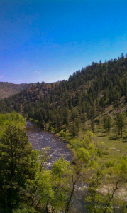
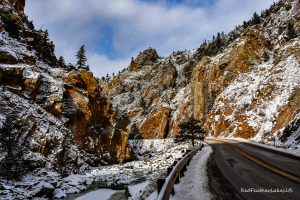
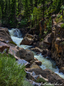
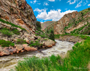
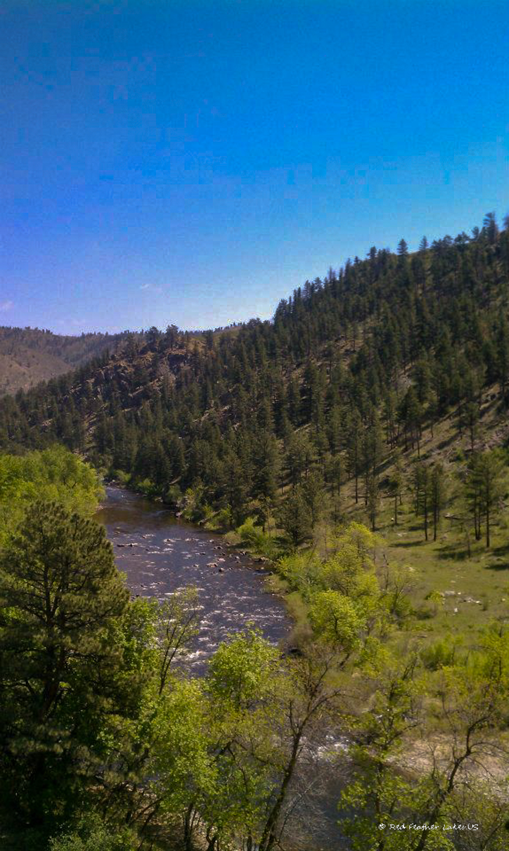
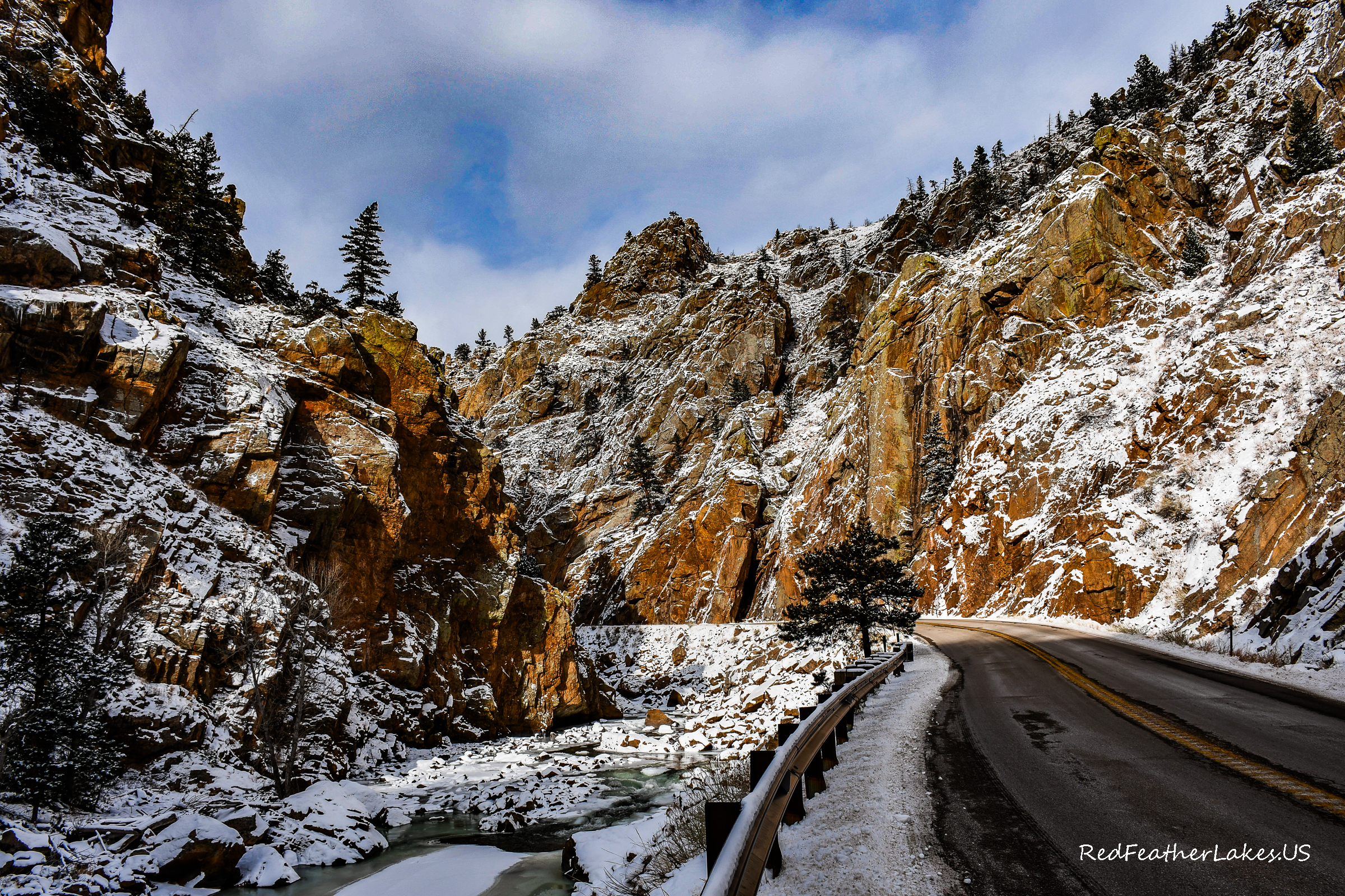
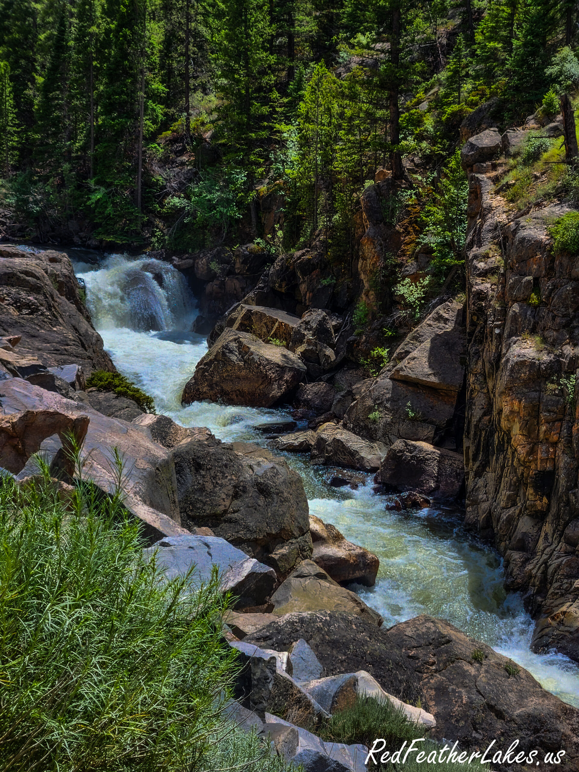
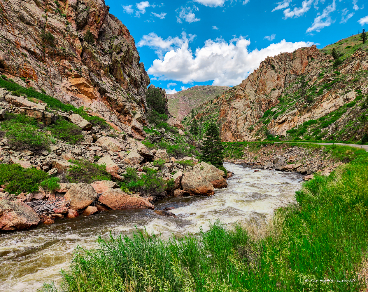
Red Feather Lakes Road (County Road 74E)
The paved climb from Livermore up to Red Feather Lakes — about 24 miles of rolling foothills, ponderosa forest, and long views that keep opening up as you gain elevation. It’s the main way into the lakes and the launch point for the high-country back roads beyond. Keep going west past Red Feather and the pavement gives way to gravel toward Deadman Road and the Laramie River country.
Pingree Park Road
Turning south off the Poudre Canyon (Highway 14), Pingree Park Road follows the South Fork of the Poudre through idyllic forest before climbing to sweeping views of the canyon’s craggy walls. It leads toward Pingree Park and CSU’s historic mountain campus, with excellent trailheads and plenty of dispersed camping along the way — a favorite for a quieter half-day out of the traffic.
Buckhorn Canyon, Stove Prairie & Pennock Pass
For a genuine backcountry loop, Buckhorn Road (CR 44H) runs east–west through Buckhorn Canyon, following a creek up through thick pine and aspen to 9,163‑foot Pennock Pass before connecting to Pingree Park Road. Along the way you’ll pass the historic, CCC‑built Buckhorn Ranger Station. Stove Prairie Road drops from the tiny Stove Prairie community down into the Poudre Canyon, and Old Flowers Road threads through the ranch country of High Park. These are dirt roads — mostly smooth, a bit rough on the western switchbacks — and best in dry weather.
Deadman Road
Built as a logging road and still used as one, Deadman Road is a wide, well-graded county road west of Red Feather Lakes that climbs into some of the highest, wildest country around — past the historic Deadman Fire Lookout and out toward the Laramie River. It’s the gateway to a web of OHV trails and free dispersed camping. The main road suits all vehicles; the spurs get rougher.
Cherokee Park Road
Wide and well-maintained enough for a stock 2WD car, Cherokee Park Road runs north from the Red Feather area through the expansive, wide-open Cherokee Park country toward the Wyoming border — big-sky ranch land and rolling hills, and a fine way to loop back around with Deadman Road.
Know Before You Go
- Check conditions first. Cameron Pass and the high back roads close or turn treacherous in winter, and spring and late-summer rains can bring rockslides and mud.
- Fuel up and pack out. Services are sparse past the mouth of the canyon — top off in Fort Collins, LaPorte, or at a canyon stop, and bring water and snacks.
- Cell service is spotty in the canyon and high country. Download your maps ahead of time — or take the Larimer Wilds Trails app for offline maps and GPS that work with no signal.
- Share the road with cyclists, wildlife, and rafting-shuttle traffic, especially in the Poudre Canyon.