

Free this founding season. The local’s fishing atlas for Northwest Larimer County — every lake, reservoir, and stretch of the Cache la Poudre, in your pocket even where there’s no signal.
What you get
- Works fully offline — the whole region on your phone before you lose signal in the canyon.
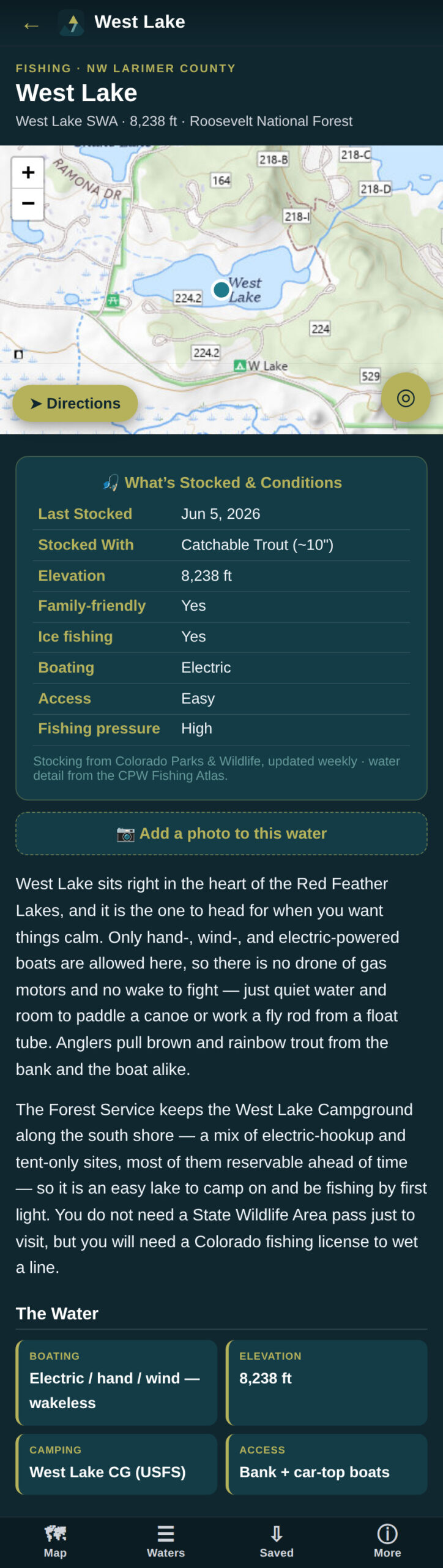
- Real “Last Stocked” dates, refreshed every week from Colorado Parks & Wildlife — and growing all season as their data fills in.
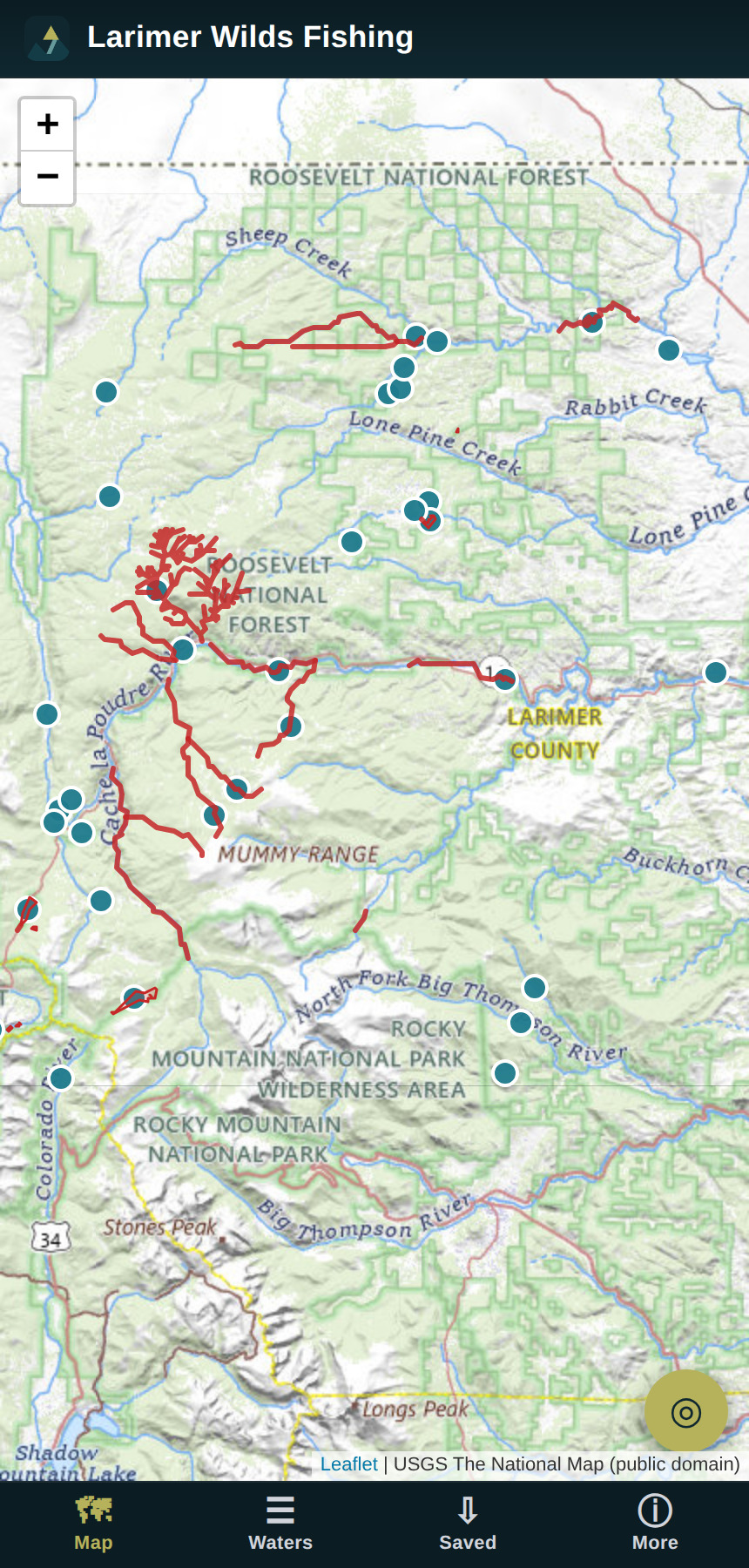
- See and switch between nearby waters right from the map.
- Notifications & alerts for markers & features at the water.
- Live-GPS navigation to the water and the right access point, plus driving directions to every spot.
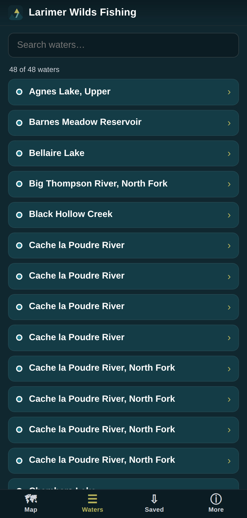
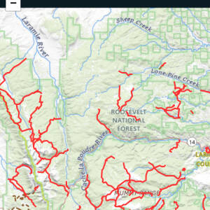
- 48+ waters mapped — alpine lakes, reservoirs, and the Cache la Poudre & its forks — with elevation, access, boating, ice-fishing, family-friendly, special-regulation & Gold Medal notes.
- Built from the most detailed fishing atlas & GPS data available today.
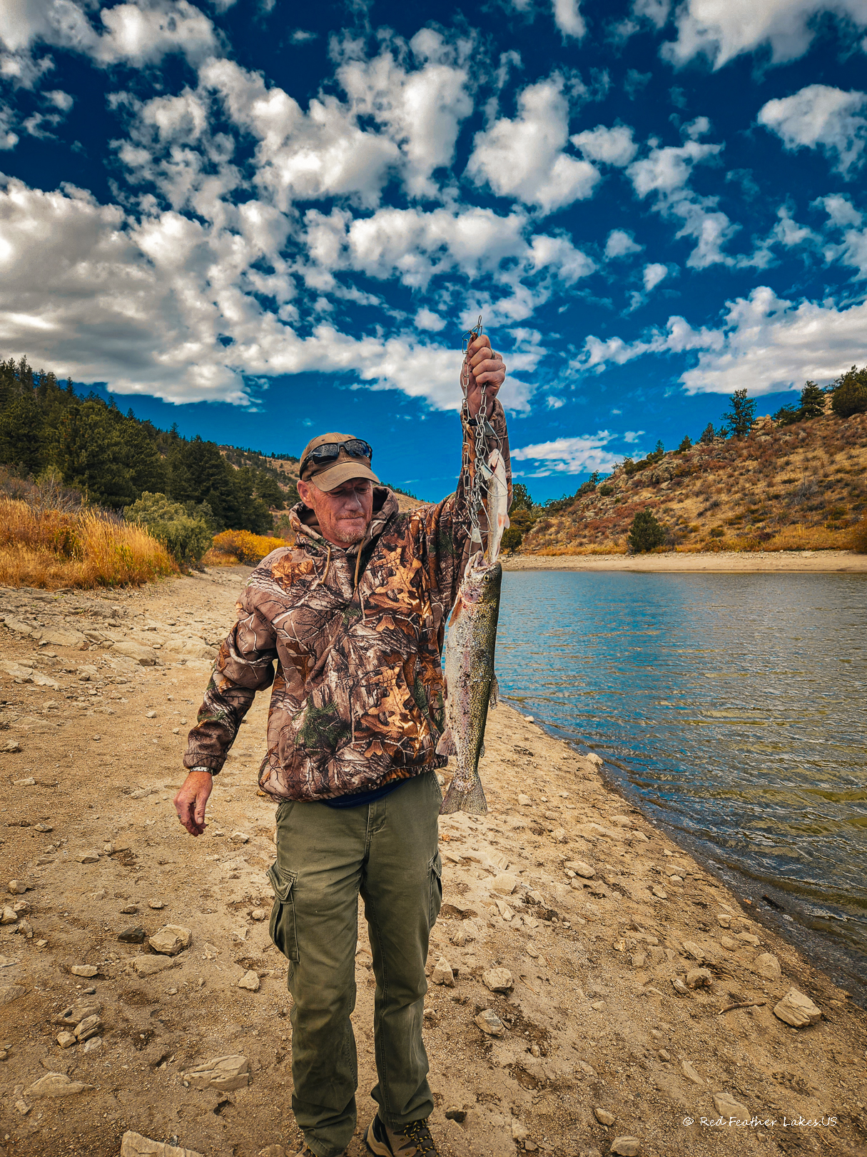
- Add your own photos and comments to any water — and share them to the website, if you like, when you’re back on WiFi.
Installs right to your phone’s home screen — no app store, no clutter. Free during our 2026 founding season.
Reviews
There are no reviews yet.