

Trails · Poudre Canyon
Young Gulch Trail
An easy, creek-hugging ramble up a Poudre Canyon side-gulch, crossing the water some two dozen times.
Toggle Terrain / USGS Topo / Satellite / Street (top-right) · route © COTREX/CPW · tap a marker for waypoints
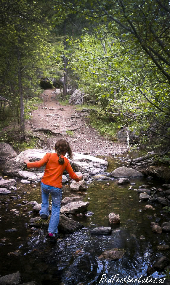
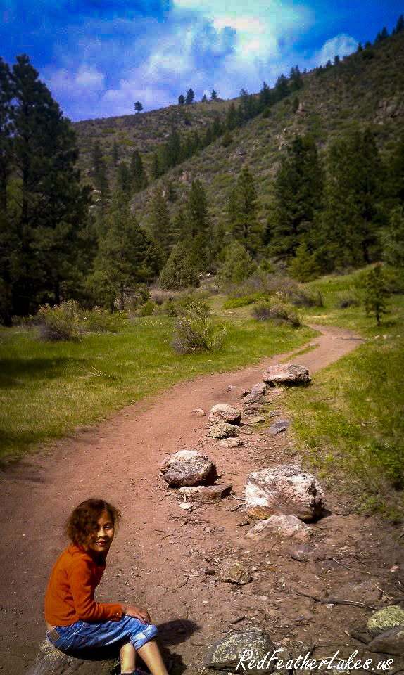
Young Gulch is the Poudre Canyon's friendliest long ramble — a gentle, creek-hugging climb that stays close enough to the water that you'll hear it babbling for nearly the whole way up. The grade is easy and the tread is wide and well-kept (it was rebuilt to run a little higher above the creek after a 2013 flood tore out the original), so it's the kind of trail where you can settle into an unhurried pace and just listen. Count on getting your feet near the water: the path crosses the creek somewhere around twenty-seven times — the first three on sturdy bridges that carry bikes and horses, the rest on single log spans laid for hikers with no railings, so watch your balance, and know that in spring runoff even the bridged crossings can feel sporty.
Be honest with yourself about a few things before you set out. From about mile 1.7 to mile 3.7 you cross into ground scorched by the 2012 High Park Fire, where the shade thins and a sunny afternoon turns genuinely hot — carry more water than you think you'll need, even with the creek running generously alongside. This is rattlesnake and poison-ivy country too, so mind where you step and reach, and give any bicycle coasting downhill room to pass. The trail simply ends near Stove Prairie Road at private property with no through-access, so plan it as an out-and-back and turn around whenever you're ready. Stock riders: the first 1.7 miles ride fine, but it gets rough past there, and trailer parking at the trailhead is tight — come early.
Trail Facts
Difficulty
Easy
Length
5.3 mi one-way
Elevation
5,829 → 7,008 ft
Elevation Gain
+1,179 ft
Bikes
Allowed (no e-bike)
Stock / Horse
Moderate to 1.7 mi, then difficult
Dogs
Voice control
Season
Year-round
Getting There
From Ted's Place, drive about 13 miles up CO-14 into the lower Poudre Canyon, passing Ansel Watrous Campground on your right and crossing a small bridge. At mile marker 109, watch for a short gravel road on the south (left) side of the highway that drops into the parking lot; the trailhead is in the southeast corner. Toilets are at Ansel Watrous Campground — there's no water at the trailhead, and the lot is small, so arrive early (especially with a horse trailer, which is tough to maneuver here & shouldn't be larger than a two-horse bumper pull).
| 0.0 mi | Trailhead on CO-14 (mm 109) — southeast corner of the parking lot |
| 0.3 mi | First bridge — sturdy enough for bikes & stock |
| 0.6 mi | Second bridge |
| 0.8 mi | Third bridge — last of the three full bridges |
| 1.7 mi | Seventh creek crossing — stock turnaround & start of the High Park burn |
| 5.3 mi | End of trail near Stove Prairie Road — private property, no through-access |
Know Before You Go
- Watch your footing on the crossings. The creek is forded roughly 27 times — only the first three have full bridges; the rest are single log spans with no railings, and any of them can be dicey during spring runoff.
- Burn country, mile 1.7 to 3.7. This stretch was scorched by the 2012 High Park Fire, so it's hot, open, and exposed on a sunny day — carry extra water and watch uphill for loose rock and deadfall after rain.
- Rattlesnakes & poison ivy. Both live along this trail; mind where you put your hands and feet, and keep dogs close through the brushy, rocky spots.
- Share the trail with bikes. Bicycles are allowed (e-bikes are not), so expect riders — step aside for anyone coming downhill.
- Dogs under voice control. Leashes aren't required, but your dog must respond to you at all times.
- It's a dead end — plan an out-and-back. The trail stops at private property near Stove Prairie Road with no legal access onward; respect the boundary and turn around there.
- Year-round, but wintry. The trail stays open all year, though it holds snow and ice through the cold months — bring traction in winter.
On the Trail
Photos © Red Feather Lakes Travel Guide — shot on the trail.
Built by Many Hands — Give a Little Back
Love this guide? Wear it. Every hat, tee, and cozy layer in our Red Feather Lakes collection helps us keep mapping trails and keeping this guide free — mountain apparel designed right here in the high country, with more trail gear on the way.
Shop the Collection →These trails don't tend themselves either. Every mile is watched over by volunteers and public stewards we lean on to bring you this guide — if you love these mountains, please pitch in for them too:
- Poudre Wilderness Volunteers — trail patrols & the official trail description Donate →
- Colorado Parks & Wildlife / COTREX — the mapped trail route & statewide trail data Donate →
- Arapaho & Roosevelt National Forest (USFS) — the public land itself Support →
- OpenStreetMap contributors — the Street basemap Donate →
- Google & USGS — trailhead location, ratings & topographic maps
Trail details compiled by the Red Feather Lakes Travel Guide from the sources above. Photography by us — more of our own trail images coming as we hike them.