

Trails · Red Feather Lakes
Mount Margaret Trail
An easy amble on old roadbeds through ponderosa and granite to a summit-scramble view over the North Lone Pine valley.
Toggle Terrain / USGS Topo / Satellite / Street (top-right) · route © COTREX/CPW · tap a marker for waypoints
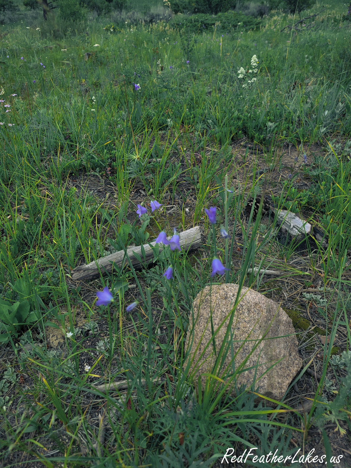
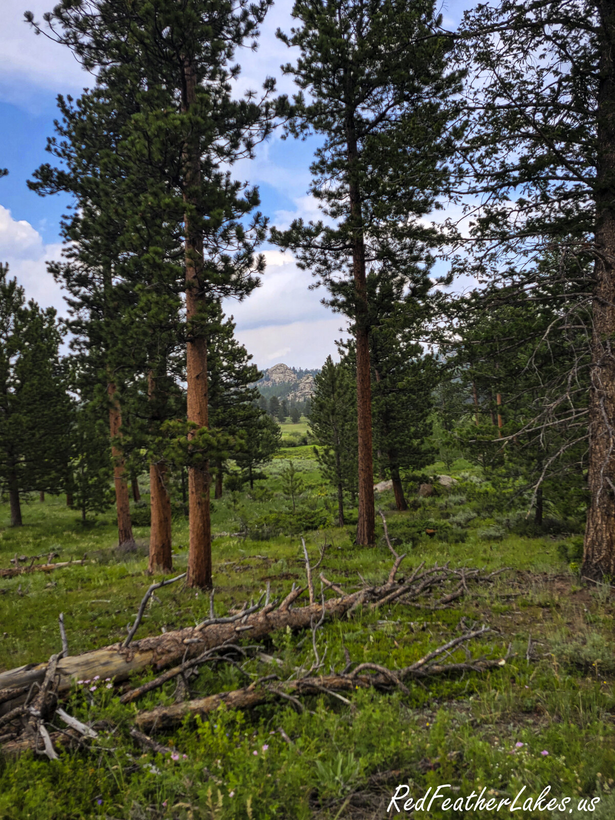
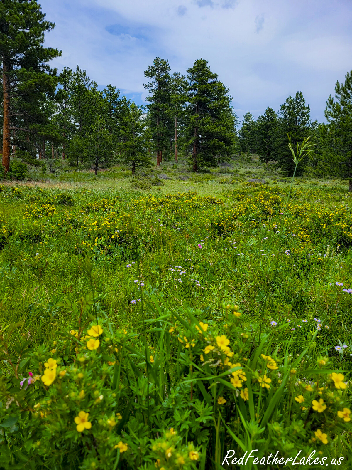
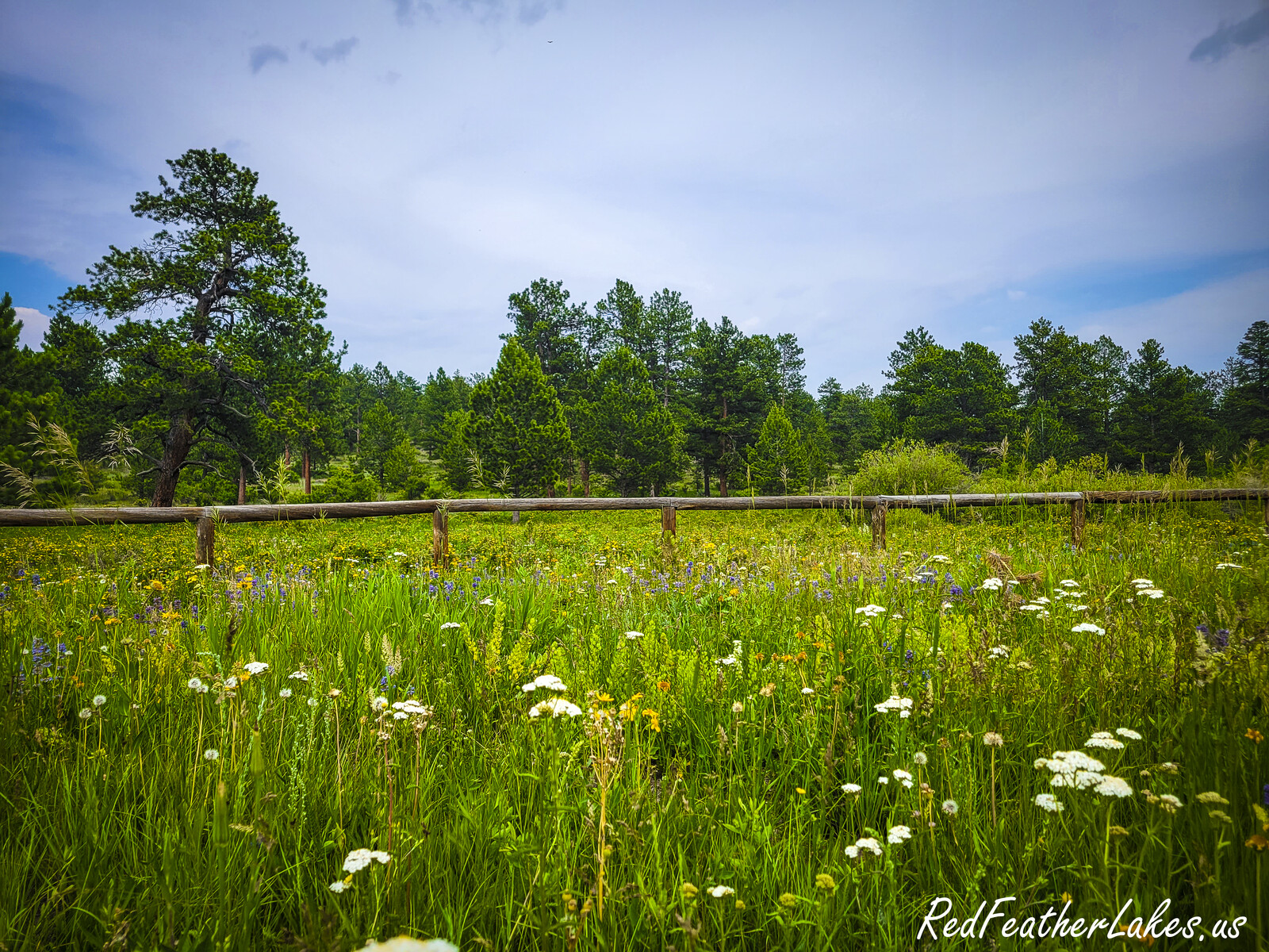
Some trails make you earn every view; Mount Margaret just asks you to enjoy the walk. Most of the way follows an old roadbed — wide, well-worn, and easy to follow — rolling gently west then north through open ponderosa forest, granite outcroppings, and grassy meadows that fill with wildflowers in spring and glow with quaking aspen in the fall. About three-quarters of a mile in you drop down to South Lone Pine Creek, where hikers cross on a wooden bridge and riders and cyclists take the hardened ford just downstream. It's a favorite for families, first-timers, and anyone who wants big-country scenery without a lung-busting climb.
Be honest with yourself about the exposure, though: this is a hot, dry trail in high summer, and water is limited to the creek and a pond up near the Divide Trail junction — carry plenty, and treat what you gather. Cattle graze these meadows in spring and summer, so leave gates the way you found them, and expect to share the roadbed with cyclists. The signed trail ends at an “End of Trail” marker where the old road turns sharply east and drops away; the true summit of Mount Margaret is a short, rocky cross-country scramble — roughly 100 yards to the northeast — that rewards you with a wide view down the North Lone Pine valley. If you’ve got the legs, the Divide Trail adds another 0.6 mile to a second rock-outcrop overlook.
Trail Facts
Difficulty
Easy
Length
3.8 mi one-way
Elevation
8,097 → 8,208 ft
Elevation Gain
+598 ft
Bikes
Allowed (no e-bike)
Stock / Horse
Easy
Dogs
Voice control
Season
Year-round
Getting There
From Ted’s Place, follow US-287 north 10.5 miles to “The Forks” at Livermore, then turn left onto Red Feather Lakes Road (CR-74E). Continue to about mile marker 20.8, where the Mt. Margaret Trailhead and parking area sit on the north (right) side of the road. There are toilets and good pull-throughs for stock trailers at the trailhead, but no water — fill up before you arrive.
| 0.0 mi | Mt. Margaret Trailhead (Red Feather Lakes Road / CR-74E) |
| 0.8 mi | South Lone Pine Creek — hiker bridge & stock/bike ford |
| 1.4 mi | Fence line — pedestrian & vehicle gate |
| 1.4 mi | East Dowdy Lake connector trail junction |
| 2.4 mi | Frog Pond & East Dowdy Lake trails junction |
| 2.5 mi | Columbine Trail junction |
| 2.9 mi | East Loop Trail junction |
| 3.2 mi | Divide Trail junction (pond just west) |
| 3.8 mi | North Loop Trail junction & End of Trail sign — summit scramble 100 yd NE |
| +0.6 mi | Optional: Divide Trail to its end at a rock-outcrop viewpoint |
Know Before You Go
- You’ll share the roadbed. Bicycles are allowed on this trail (e-bikes are not), so stay alert for riders coming around blind corners on the old road, especially on the downhill stretches.
- Carry your water. This is a hot, dry trail in summer — the only sources are South Lone Pine Creek near mile 0.8 and a pond up by the Divide Trail junction. Bring plenty and treat anything you gather.
- Cattle country. Cows graze these meadows in spring and summer; leave every gate the way you found it and give the animals a wide berth.
- Dogs on voice control. Pets are welcome but must be under voice control at all times — leash up near stock, cyclists, and cattle.
- The summit is a scramble. The maintained trail ends at an “End of Trail” sign; the true summit of Mt. Margaret is a short, rocky cross-country climb about 100 yards to the northeast — watch your footing on the granite.
- Winter is doable, not groomed. The lot isn’t plowed (though it’s often passable), and the gentle grade makes fine ski/snowshoe terrain — but the route can be hard to follow under deep snow, so bring a map and the GPX.
- Riders, pack weed-free feed. Stock must be fed only pellets or certified weed-free hay throughout the trip to keep noxious weeds out of the forest.
On the Trail
Photos © Red Feather Lakes Travel Guide — shot on the trail.
Built by Many Hands — Give a Little Back
Love this guide? Wear it. Every hat, tee, and cozy layer in our Red Feather Lakes collection helps us keep mapping trails and keeping this guide free — mountain apparel designed right here in the high country, with more trail gear on the way.
Shop the Collection →These trails don't tend themselves either. Every mile is watched over by volunteers and public stewards we lean on to bring you this guide — if you love these mountains, please pitch in for them too:
- Poudre Wilderness Volunteers — trail patrols & the official trail description Donate →
- Colorado Parks & Wildlife / COTREX — the mapped trail route & statewide trail data Donate →
- Arapaho & Roosevelt National Forest (USFS) — the public land itself Support →
- OpenStreetMap contributors — the Street basemap Donate →
- Google & USGS — trailhead location, ratings & topographic maps
Trail details compiled by the Red Feather Lakes Travel Guide from the sources above. Photography by us — more of our own trail images coming as we hike them.