

Trails · Red Feather Lakes
Granite Ridge Trail
A long, easygoing run down an old logging road along the granite spine above Red Feather Lakes — past a quiet pond and open ponderosa into the lodgepole above the South Lone Pine drainage. Gentle enough for the whole family; turn around anywhere or go the distance.
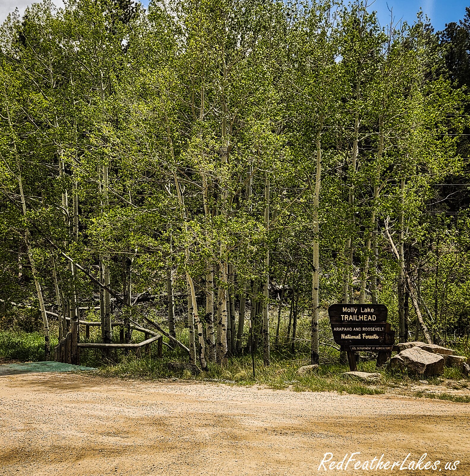
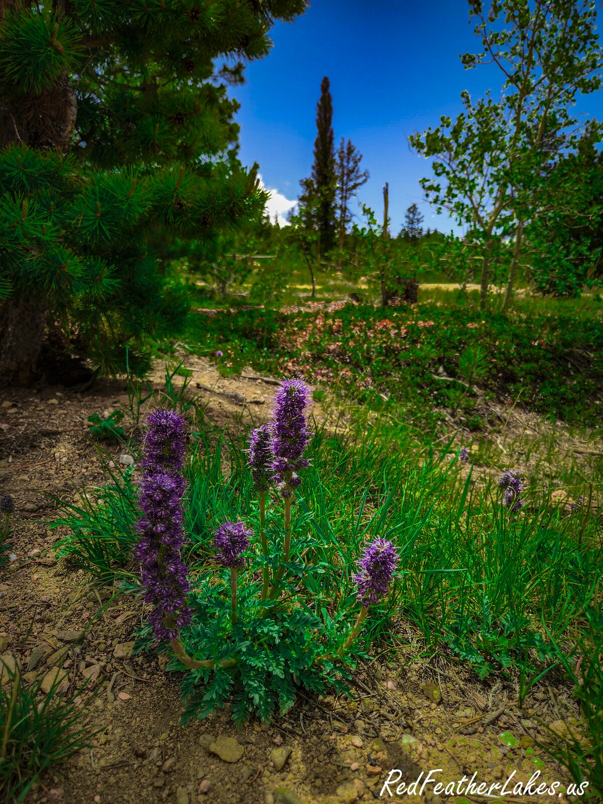
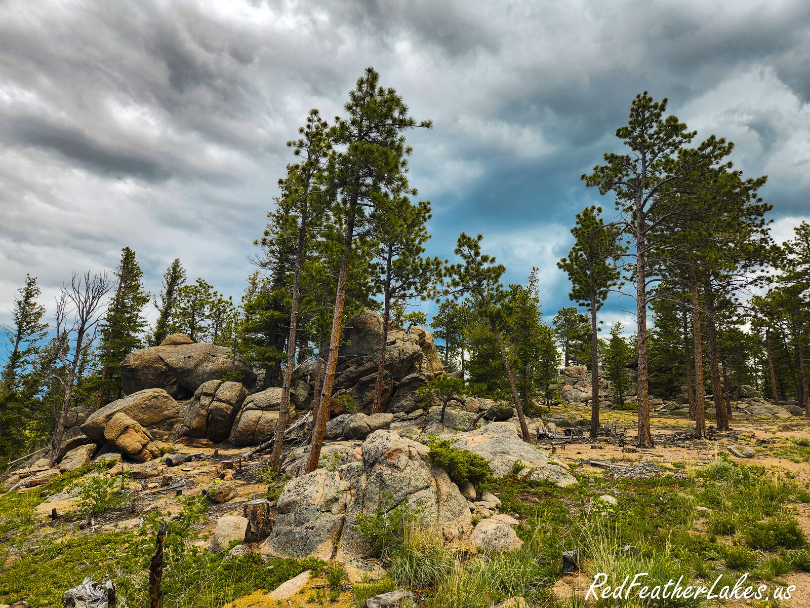
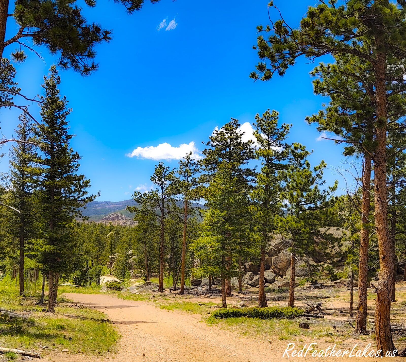
Toggle Terrain / USGS Topo / Satellite / Street (top-right) · route © COTREX/CPW · tap a marker for waypoints
If you're after an easy walk with room to roam, Granite Ridge is one of the friendliest trails near Red Feather Lakes — and one of the longest. It rides an old logging road the whole way (formerly the Molly Lake Trail), wide and about as level as trails get out here, through an open, sun-dappled forest of ponderosa pine, quaking aspen, and a little Douglas-fir, with lodgepole crowding in as you head east. The tread is sandy, gravelly, and rocky by turns, drained by a string of old metal culverts, so it stays walkable from mid-April into late October. In the first half-mile a few faint side paths branch off; stay on the obvious roadbed and you can't go wrong.
At about nine-tenths of a mile a short spur cuts north to Molly Lake — really a shallow two-acre pond ringed with rock outcroppings, pretty in a low-key way, though its north shore is private, so stay on the trail. Just past the lake another branch drops south through a gate toward Elkhorn Creek. The main road threads a couple of large metal gates and quiet meadows and, at about 3.8 miles, passes a gate and meets the south end of the Lady Moon Trail (#985), which you can follow a mile north to its own trailhead on the Red Feather Lakes Road. Beyond Lady Moon the ridge keeps rolling east through lodgepole above the South Lone Pine drainage for another three-plus miles, finally tying into the little Box Hollow Trail near the east end — about 7.2 miles one-way, or roughly 14.5 there and back. Most folks make it an out-and-back and simply turn around when they're ready. A few honest notes: there's no reliable water on the ridge (fill up before you go), and bikes share the tread July through October.
Trail Facts
Difficulty
Easy grade (long)
Length
7.2 mi one-way · 14.5 mi round trip
Elevation
7,945 → 8,650 ft
Elevation Gain
Gentle, rolling (~700 ft range)
Bikes
Allowed Jul–Oct (no e-bike)
Stock / Horse
Yes
Dogs
Voice control
Season
Year-round
Surface
Old logging road / dirt
Manager
USFS Canyon Lakes Ranger District
Getting There
From Ted's Place, drive north on US-287 for 10.5 miles to “The Forks” at Livermore. Turn left onto the Red Feather Lakes Road (CR-74E) and follow it to the community of Red Feather Lakes. Just west of the Pot Belly Restaurant, turn south onto CR-69 (gravel) and go 2.1 miles to the Molly Lake (aka Granite Ridge) Trailhead, on the east (left) side of the road just north of the access road to the Bellaire Lake campsites #6–12. Toilets and stock-trailer parking at the trailhead, but no water; the small circle lot fits small to medium trailers and isn't plowed in winter. (The trail can also be reached from the north via the Lady Moon Trailhead on the Red Feather Lakes Road, about a mile down to the junction.)
| 0.0 mi | Molly Lake / Granite Ridge Trailhead (CR-69) |
| 0.9 mi | Molly Lake Trail spur — the pond is 0.1 mi north (north shore private) |
| 1.0 mi | Elkhorn Creek Trail branch — drops south through a gate |
| 1.5 mi | Large metal vehicle gate & granite outcrops |
| 3.8 mi | Lady Moon Trail (#985) junction — north 1 mi to its trailhead |
| 5.5 mi | Old roadbed rolls east through lodgepole above the South Lone Pine drainage |
| 7.2 mi | East end — Box Hollow Trail junction |
Know Before You Go
- Carry your own water. The ridge is dry the whole way — Molly Lake is a shallow pond you shouldn't rely on. Fill up before you start.
- It's long — turn around anytime. The full trail is about 7.2 miles one-way (14.5 round trip); the grade is easy but the distance adds up, so pick a turnaround (Molly Lake, Lady Moon, or beyond) that fits your day.
- Bikes share the trail Jul–Oct. Bicycles are allowed July 1 through October 31 (prohibited the rest of the year); e-bikes and all motorized use are prohibited year-round.
- Dogs under voice control. No leash required, but your dog must respond to voice commands at all times.
- Respect the private land at Molly Lake. The pond's north shore is private property — stay on the trail and don't camp there.
- Weed-free feed for stock. Horses and pack stock must be fed only pellets or certified weed-free hay throughout the trip (starting 72 hours before) to avoid spreading noxious weeds.
- A fine winter route. The gentle old roadbed skis and snowshoes well, but it isn't marked for snow travel and the trailhead lot isn't plowed.
On the Trail
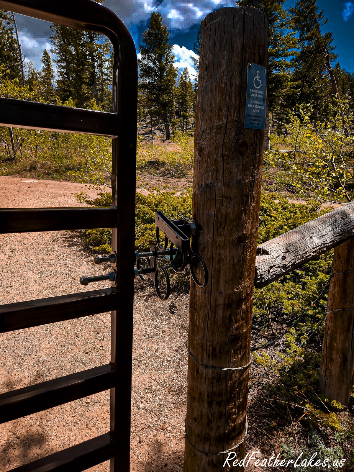
Photos © Red Feather Lakes Travel Guide — shot on the trail.
Built by Many Hands — Give a Little Back
Love this guide? Wear it. Every hat, tee, and cozy layer in our Red Feather Lakes collection helps us keep mapping trails and keeping this guide free — mountain apparel designed right here in the high country, with more trail gear on the way.
Shop the Collection →These trails don't tend themselves either. Every mile is watched over by volunteers and public stewards we lean on to bring you this guide — if you love these mountains, please pitch in for them too:
- Poudre Wilderness Volunteers — trail patrols & the official trail description Donate →
- Colorado Parks & Wildlife / COTREX — the mapped trail route & statewide trail data Donate →
- Arapaho & Roosevelt National Forest (USFS) — the public land itself Support →
- OpenStreetMap contributors — the Street basemap Donate →
- Google & USGS — trailhead location, ratings & topographic maps
Trail details compiled by the Red Feather Lakes Travel Guide from the sources above. Photography by us — more of our own trail images coming as we hike them.